Area Overview for NR20 4AQ
Photos of NR20 4AQ
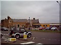
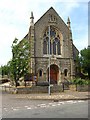
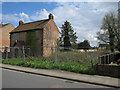
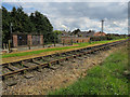
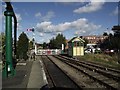

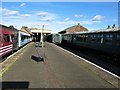
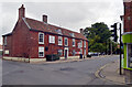
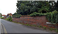
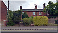
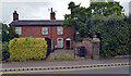
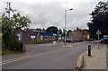
100 photos from this area
Area Information
Key information about the NR20 4AQ including its size, population, and administrative classification.
- Area Type
- Postcode
- Area Size
- 9865 m²
- Population
- 2348
- Population Density
- 223 people/km²
House Prices in NR20 4AQ
15
Properties
£161,167
Average Sold Price
£69,500
Lowest Price
£243,000
Highest Price
Showing 15 properties
| Address | Type | Beds | Baths | Last Sale Price | Last Sale Date | |
|---|---|---|---|---|---|---|
| 39 Neatherd Road, Dereham, NR20 4AQ | Bungalow | 3 | 2 | £235,000 | Sep 2025 | |
| 43 Neatherd Road, Dereham, NR20 4AQ | Semi-detached | 3 | - | £243,000 | Aug 2021 | |
| 48 Neatherd Road, Dereham, NR20 4AQ | house | - | - | £166,000 | Dec 2012 | |
| 45 Neatherd Road, Dereham, NR20 4AQ | Bungalow | 2 | 1 | £121,000 | Mar 2012 | |
| 34 Neatherd Road, Dereham, NR20 4AQ | Bungalow | 3 | 2 | £180,000 | Nov 2010 | |
| 52 Neatherd Road, Dereham, NR20 4AQ | Detached | - | - | £144,000 | Aug 2002 | |
| 54 Neatherd Road, Dereham, NR20 4AQ | Detached | 5 | - | £222,000 | Jan 2002 | |
| 46 Neatherd Road, Dereham, NR20 4AQ | house | - | - | £69,500 | Nov 1999 | |
| 40 Neatherd Road, Dereham, NR20 4AQ | Detached | - | - | £70,000 | Jul 1999 | |
| 44 Neatherd Road, Dereham, NR20 4AQ | Semi-detached | 3 | 1 | - | - |
Page 1 of 2
Energy Efficiency in NR20 4AQ
Amenities
Schools
| Rank | School | Type | Entry gender | Ages |
|---|
Explore more schools in this area
Go to Schools tabDemographics
Household Size
Two person
most common
Accommodation Type
Houses
most common
Tenure
75
majority
Ethnic Group
White
most common
Religion
N/A
most common
Household Composition
N/A
most common
Age
47
median
Adults (30-64 years)
most common
Household Deprivation
N/A
with no deprivation
NS-SEC
35
in Lower managerial occupations
Explore more demographic insights in this area
Go to Demographics tabPlanning
Planning Constraints
- Flood RiskPremium
- Ramsar Wetland SitesPremium
- Area of Outstanding Natural BeautyPremium
- Protected Nature ReservePremium
- Protected WoodlandPremium