Area Overview for NR20 4AN
Photos of NR20 4AN
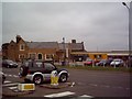
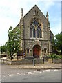
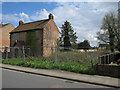
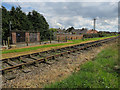
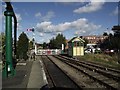
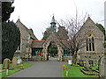
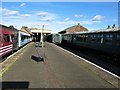
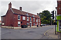
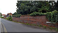
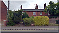
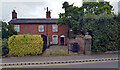
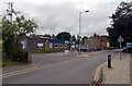
100 photos from this area
Area Information
Key information about the NR20 4AN including its size, population, and administrative classification.
- Area Type
- Postcode
- Area Size
- 1.9 hectares
- Population
- 1433
- Population Density
- 4719 people/km²
House Prices in NR20 4AN
36
Properties
£144,027
Average Sold Price
£45,000
Lowest Price
£223,000
Highest Price
Showing 36 properties
| Address | Type | Beds | Baths | Last Sale Price | Last Sale Date | |
|---|---|---|---|---|---|---|
| 30 Cecil Road, Dereham, NR20 4AN | Semi-detached | 3 | 1 | £195,000 | Jul 2023 | |
| 21 Cecil Road, Dereham, NR20 4AN | Bungalow | 2 | - | £215,000 | Aug 2021 | |
| 3 Cecil Road, Dereham, NR20 4AN | Bungalow | 1 | - | £190,000 | Jan 2021 | |
| 26 Cecil Road, Dereham, NR20 4AN | house | - | - | £150,000 | Aug 2020 | |
| 15 Cecil Road, Dereham, NR20 4AN | Semi-detached | 2 | 1 | £158,000 | Jan 2020 | |
| 33 Cecil Road, Dereham, NR20 4AN | Bungalow | - | - | £223,000 | Sep 2018 | |
| 23 Cecil Road, Dereham, NR20 4AN | house | - | - | £216,228 | Mar 2017 | |
| 5 Cecil Road, Dereham, NR20 4AN | Detached | 3 | 1 | £205,000 | Feb 2016 | |
| 28 Cecil Road, Dereham, NR20 4AN | house | 3 | - | £178,000 | Dec 2015 | |
| 24 Cecil Road, Dereham, NR20 4AN | Detached | - | - | £168,000 | Aug 2015 |
Page 1 of 4
Energy Efficiency in NR20 4AN
Amenities
Schools
| Rank | School | Type | Entry gender | Ages |
|---|
Explore more schools in this area
Go to Schools tabDemographics
Household Size
One person
most common
Accommodation Type
Houses
most common
Tenure
57
majority
Ethnic Group
White
most common
Religion
N/A
most common
Household Composition
N/A
most common
Age
47
median
Adults (30-64 years)
most common
Household Deprivation
N/A
with no deprivation
NS-SEC
22
in Lower managerial occupations
Explore more demographic insights in this area
Go to Demographics tabPlanning
Planning Constraints
- Flood RiskPremium
- Ramsar Wetland SitesPremium
- Area of Outstanding Natural BeautyPremium
- Protected Nature ReservePremium
- Protected WoodlandPremium