Area Overview for NR13 6EX
Photos of NR13 6EX
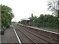
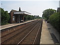
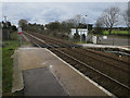
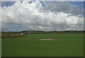
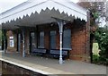
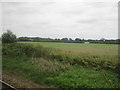
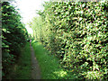
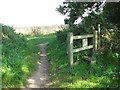
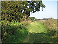
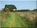
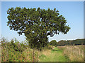
23 photos from this area
Area Information
Key information about the NR13 6EX including its size, population, and administrative classification.
- Area Type
- Postcode
- Area Size
- 23.7 hectares
- Population
- 1577
- Population Density
- 177 people/km²
House Prices in NR13 6EX
8
Properties
£488,000
Average Sold Price
£210,000
Lowest Price
£800,000
Highest Price
Showing 8 properties
| Address | Type | Beds | Baths | Last Sale Price | Last Sale Date | |
|---|---|---|---|---|---|---|
| Silver Birches, Howletts Loke, Salhouse, NR13 6EX | Bungalow | 3 | 2 | £530,000 | Jan 2025 | |
| Longacre, Howletts Loke, Salhouse, NR13 6EX | Bungalow | 4 | 2 | £450,000 | Mar 2023 | |
| Station Lodge, Howletts Loke, Salhouse, NR13 6EX | Detached | - | - | £800,000 | Jun 2021 | |
| Chippings, Howletts Loke, Salhouse, NR13 6EX | Bungalow | 3 | 2 | £210,000 | Dec 2009 | |
| The Old Hall Barn, Howletts Loke, Salhouse, NR13 6EX | house | 4 | 3 | £450,000 | Feb 2007 | |
| Old Hall Farm, Howletts Loke, Salhouse, NR13 6EX | Detached | 4 | 3 | - | - | |
| Copper Beeches, Howletts Loke, Salhouse, NR13 6EX | Bungalow | 3 | 2 | - | - | |
| Barley Coomb Barn, Howletts Loke, Salhouse, NR13 6EX | house | - | - | - | - |
Energy Efficiency in NR13 6EX
Amenities
Schools
| Rank | School | Type | Entry gender | Ages |
|---|
Explore more schools in this area
Go to Schools tabDemographics
Household Size
Two person
most common
Accommodation Type
Houses
most common
Tenure
84
majority
Ethnic Group
White
most common
Religion
N/A
most common
Household Composition
N/A
most common
Age
47
median
Adults (30-64 years)
most common
Household Deprivation
N/A
with no deprivation
NS-SEC
36
in Lower managerial occupations
Explore more demographic insights in this area
Go to Demographics tabPlanning
Planning Constraints
- Flood RiskPremium
- Ramsar Wetland SitesPremium
- Area of Outstanding Natural BeautyPremium
- Protected Nature ReservePremium
- Protected WoodlandPremium