Area Overview for NR13 6RS
Photos of NR13 6RS
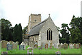
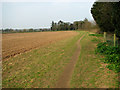
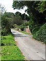
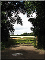
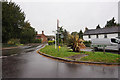
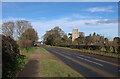
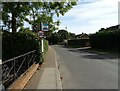
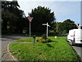
45 photos from this area
Area Information
Key information about the NR13 6RS including its size, population, and administrative classification.
- Area Type
- Postcode
- Area Size
- 29.3 hectares
- Population
- 1577
- Population Density
- 177 people/km²
House Prices in NR13 6RS
11
Properties
£291,500
Average Sold Price
£170,000
Lowest Price
£370,000
Highest Price
Showing 11 properties
| Address | Type | Beds | Baths | Last Sale Price | Last Sale Date | |
|---|---|---|---|---|---|---|
| The Little Barn, Hall Drive, Salhouse, NR13 6RS | house | - | - | £301,000 | Apr 2018 | |
| Wisteria Cottage, Hall Drive, Salhouse, NR13 6RS | Semi-detached | 3 | - | £325,000 | Aug 2016 | |
| Willow Pond Cottage, Hall Drive, Salhouse, NR13 6RS | house | 2 | - | £170,000 | Sep 2011 | |
| Woodpecker Barn, Hall Drive, Salhouse, NR13 6RS | Semi-detached | - | - | £370,000 | Jul 2006 | |
| Barneswood House, Hall Drive, Salhouse, NR13 6RS | Detached | - | - | - | - | |
| White Cottage, 2 Hall Drive, Salhouse, NR13 6RS | Terraced | - | - | - | - | |
| Vine Cottage, Hall Drive, Salhouse, NR13 6RS | Semi-detached | - | - | - | - | |
| Hall Farm, Hall Drive, Salhouse, NR13 6RS | Semi-detached | 1 | 1 | - | - | |
| Hall Farm Cottage, Hall Drive, Salhouse, NR13 6RS | house | - | - | - | - | |
| White Cottage, 1 Hall Drive, Salhouse, NR13 6RS | house | - | - | - | - |
Page 1 of 2
Energy Efficiency in NR13 6RS
Amenities
Schools
| Rank | School | Type | Entry gender | Ages |
|---|
Explore more schools in this area
Go to Schools tabDemographics
Household Size
Two person
most common
Accommodation Type
Houses
most common
Tenure
84
majority
Ethnic Group
White
most common
Religion
N/A
most common
Household Composition
N/A
most common
Age
47
median
Adults (30-64 years)
most common
Household Deprivation
N/A
with no deprivation
NS-SEC
36
in Lower managerial occupations
Explore more demographic insights in this area
Go to Demographics tabPlanning
Planning Constraints
- Flood RiskPremium
- Ramsar Wetland SitesPremium
- Area of Outstanding Natural BeautyPremium
- Protected Nature ReservePremium
- Protected WoodlandPremium