Area Overview for NR12 8BP
Photos of NR12 8BP
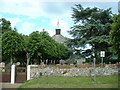
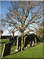
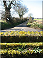
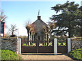
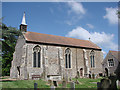
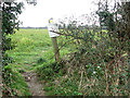
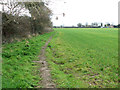
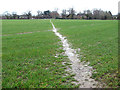
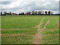
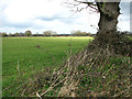
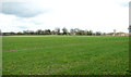
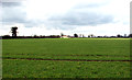
32 photos from this area
Area Information
Key information about the NR12 8BP including its size, population, and administrative classification.
- Area Type
- Postcode
- Area Size
- 22.3 hectares
- Population
- 2061
- Population Density
- 71 people/km²
House Prices in NR12 8BP
28
Properties
£242,588
Average Sold Price
£45,000
Lowest Price
£635,000
Highest Price
Showing 28 properties
| Address | Type | Beds | Baths | Last Sale Price | Last Sale Date | |
|---|---|---|---|---|---|---|
| Wildhaven, Common Road, Threehammer Common, Neatishead, NR12 8BP | Detached | 2 | 1 | £450,000 | Mar 2025 | |
| Caldarvan, Common Road, Threehammer Common, Neatishead, NR12 8BP | Detached | 6 | 4 | £335,000 | Oct 2021 | |
| Point House, Common Road, Threehammer Common, Neatishead, NR12 8BP | house | - | - | £450,000 | Dec 2020 | |
| Alderfen Cottage, Common Road, Threehammer Common, Neatishead, NR12 8BP | Detached | 3 | 1 | £635,000 | Oct 2018 | |
| 1 Common Road, Threehammer Common, Neatishead, NR12 8BP | Semi-detached | 4 | 2 | £250,000 | Nov 2017 | |
| Wisteria Cottage, Common Road, Threehammer Common, Neatishead, NR12 8BP | Cottage | 3 | 1 | £330,000 | Jul 2016 | |
| Broadmead, Common Road, Threehammer Common, Neatishead, NR12 8BP | Bungalow | 2 | - | £300,000 | Dec 2014 | |
| 6 Common Road, Threehammer Common, Neatishead, NR12 8BP | Semi-detached | 2 | 1 | £148,000 | Nov 2014 | |
| Fieldview, 2 Common Road, Threehammer Common, Neatishead, NR12 8BP | Semi-detached | - | - | £235,000 | Aug 2012 | |
| Applewood, Common Road, Threehammer Common, Neatishead, NR12 8BP | Bungalow | 3 | 1 | £349,000 | Nov 2006 |
Page 1 of 3
Energy Efficiency in NR12 8BP
Amenities
Schools
| Rank | School | Type | Entry gender | Ages |
|---|
Explore more schools in this area
Go to Schools tabDemographics
Household Size
Two person
most common
Accommodation Type
Houses
most common
Tenure
78
majority
Ethnic Group
White
most common
Religion
N/A
most common
Household Composition
N/A
most common
Age
47
median
Adults (30-64 years)
most common
Household Deprivation
N/A
with no deprivation
NS-SEC
40
in Lower managerial occupations
Explore more demographic insights in this area
Go to Demographics tabPlanning
Planning Constraints
- Flood RiskPremium
- Ramsar Wetland SitesPremium
- Area of Outstanding Natural BeautyPremium
- Protected Nature ReservePremium
- Protected WoodlandPremium