Area Overview for NR12 8XT
Photos of NR12 8XT
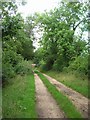
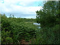
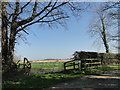
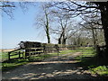
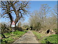
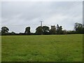
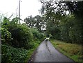
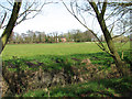
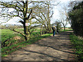
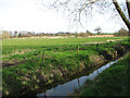
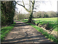
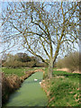
18 photos from this area
Area Information
Key information about the NR12 8XT including its size, population, and administrative classification.
- Area Type
- Postcode
- Area Size
- 1.5 km²
- Population
- 2061
- Population Density
- 71 people/km²
House Prices in NR12 8XT
14
Properties
£358,750
Average Sold Price
£100,000
Lowest Price
£480,000
Highest Price
Showing 14 properties
| Address | Type | Beds | Baths | Last Sale Price | Last Sale Date | |
|---|---|---|---|---|---|---|
| Street Farm Bungalow, Irstead Street, Irstead, NR12 8XT | Bungalow | 2 | - | £440,000 | Feb 2021 | |
| Grebe Cottage, Irstead Street, Irstead, NR12 8XT | house | 4 | - | £380,000 | Sep 2012 | |
| Broad View Cottage, Irstead Street, Irstead, NR12 8XT | house | - | - | £377,500 | Jun 2007 | |
| Hall Fen House, Irstead Street, Irstead, NR12 8XT | Detached | 4 | - | £480,000 | May 2007 | |
| Fen Bungalow, Irstead Street, Irstead, NR12 8XT | Bungalow | 3 | - | £100,000 | Jul 2004 | |
| Bisley Farm House, Irstead Street, Irstead, NR12 8XT | house | - | - | £375,000 | Oct 1999 | |
| Broad Cottage, Irstead Street, Irstead, NR12 8XT | Detached | 4 | 1 | - | - | |
| New Bungalow, Irstead Street, Irstead, NR12 8XT | Detached | - | - | - | - | |
| Alderfen View Annexe, Irstead Street, Irstead, NR12 8XT | Detached | - | - | - | - | |
| Little Grebe, Irstead Street, Irstead, NR12 8XT | Cottage | 3 | 2 | - | - |
Page 1 of 2
Energy Efficiency in NR12 8XT
Amenities
Schools
| Rank | School | Type | Entry gender | Ages |
|---|
Explore more schools in this area
Go to Schools tabDemographics
Household Size
Two person
most common
Accommodation Type
Houses
most common
Tenure
78
majority
Ethnic Group
White
most common
Religion
N/A
most common
Household Composition
N/A
most common
Age
47
median
Adults (30-64 years)
most common
Household Deprivation
N/A
with no deprivation
NS-SEC
40
in Lower managerial occupations
Explore more demographic insights in this area
Go to Demographics tabPlanning
Planning Constraints
- Flood RiskPremium
- Ramsar Wetland SitesPremium
- Area of Outstanding Natural BeautyPremium
- Protected Nature ReservePremium
- Protected WoodlandPremium