Area Overview for NR12 0AX
Photos of NR12 0AX
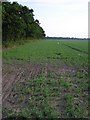
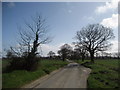
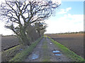
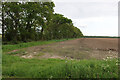
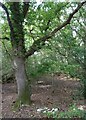
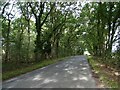
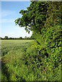
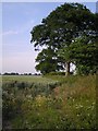
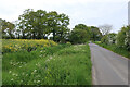
9 photos from this area
Area Information
Key information about the NR12 0AX including its size, population, and administrative classification.
- Area Type
- Postcode
- Area Size
- 63.1 hectares
- Population
- 1356
- Population Density
- 82 people/km²
House Prices in NR12 0AX
16
Properties
£516,200
Average Sold Price
£186,000
Lowest Price
£1,325,000
Highest Price
Showing 16 properties
| Address | Type | Beds | Baths | Last Sale Price | Last Sale Date | |
|---|---|---|---|---|---|---|
| Medina Cottage, Heath Road, Hickling, NR12 0AX | Detached | 2 | 1 | £186,000 | Apr 2025 | |
| Meadow Farm, Heath Road, Hickling, NR12 0AX | Retail | 10 | - | £1,325,000 | Oct 2022 | |
| Appletrees, Heath Road, Hickling, NR12 0AX | Bungalow | 3 | 2 | £425,000 | Jul 2018 | |
| Orchard House, Heath Road, Hickling, NR12 0AX | Detached | 3 | - | £360,000 | Mar 2016 | |
| The Livery, Heath Road, Hickling, NR12 0AX | Bungalow | - | - | £285,000 | Nov 1999 | |
| Livery Stables, Heath Road, Hickling, NR12 0AX | Detached | - | - | - | - | |
| The Cart Lodge, Meadow Farm, Heath Road, Hickling, NR12 0AX | house | - | - | - | - | |
| The Dairy, Meadow Farm, Heath Road, Hickling, NR12 0AX | house | - | - | - | - | |
| The Hayloft, Meadow Farm, Heath Road, Hickling, NR12 0AX | hotel | - | - | - | - | |
| Caravan Site At, Meadow Farm, Heath Road, Hickling, NR12 0AX | Leisure | - | - | - | - |
Page 1 of 2
Energy Efficiency in NR12 0AX
Amenities
Schools
| Rank | School | Type | Entry gender | Ages |
|---|
Explore more schools in this area
Go to Schools tabDemographics
Household Size
Two person
most common
Accommodation Type
Houses
most common
Tenure
82
majority
Ethnic Group
White
most common
Religion
N/A
most common
Household Composition
N/A
most common
Age
47
median
Adults (30-64 years)
most common
Household Deprivation
N/A
with no deprivation
NS-SEC
30
in Lower managerial occupations
Explore more demographic insights in this area
Go to Demographics tabPlanning
Planning Constraints
- Flood RiskPremium
- Area of Outstanding Natural BeautyPremium
- Protected WoodlandPremium