Area Overview for NR10 3JQ
Photos of NR10 3JQ
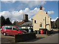
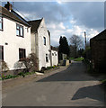
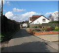
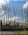
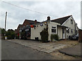
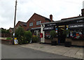
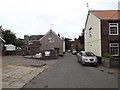
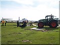
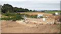
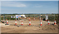
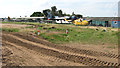
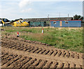
37 photos from this area
Area Information
Key information about the NR10 3JQ including its size, population, and administrative classification.
- Area Type
- Postcode
- Area Size
- 20.1 hectares
- Population
- 1792
- Population Density
- 245 people/km²
House Prices in NR10 3JQ
25
Properties
£187,717
Average Sold Price
£58,000
Lowest Price
£400,000
Highest Price
Showing 25 properties
| Address | Type | Beds | Baths | Last Sale Price | Last Sale Date | |
|---|---|---|---|---|---|---|
| 28 Blind Lane, Horsham St Faith, NR10 3JQ | Semi-detached | 3 | 1 | £330,000 | Aug 2025 | |
| The Mayals, 9 Blind Lane, Horsham St Faith, NR10 3JQ | Bungalow | - | - | £130,000 | Feb 2020 | |
| 24 Blind Lane, Horsham St Faith, NR10 3JQ | Semi-detached | 3 | 2 | £237,000 | Jul 2017 | |
| The Red House, 10 Blind Lane, Horsham St Faith, NR10 3JQ | house | 5 | - | £400,000 | Aug 2016 | |
| 34 Blind Lane, Horsham St Faith, NR10 3JQ | house | 3 | - | £150,000 | Dec 2011 | |
| Rosedene, 12 Blind Lane, Horsham St Faith, NR10 3JQ | Detached | - | - | £179,950 | Jul 2001 | |
| Chez Nous, 17 Blind Lane, Horsham St Faith, NR10 3JQ | Detached | - | - | £58,000 | Apr 1998 | |
| Honeypot Hall, 6 Blind Lane, Horsham St Faith, NR10 3JQ | Detached | - | - | £117,000 | Aug 1996 | |
| Fairlands, 15 Blind Lane, Horsham St Faith, NR10 3JQ | Detached | - | - | £87,500 | Mar 1995 | |
| High Birch, 1 Blind Lane, Horsham St Faith, NR10 3JQ | Chalet | 5 | 2 | - | - |
Page 1 of 3
Energy Efficiency in NR10 3JQ
Amenities
Schools
| Rank | School | Type | Entry gender | Ages |
|---|
Explore more schools in this area
Go to Schools tabDemographics
Household Size
Two person
most common
Accommodation Type
Houses
most common
Tenure
72
majority
Ethnic Group
White
most common
Religion
N/A
most common
Household Composition
N/A
most common
Age
47
median
Adults (30-64 years)
most common
Household Deprivation
N/A
with no deprivation
NS-SEC
30
in Lower managerial occupations
Explore more demographic insights in this area
Go to Demographics tabPlanning
Planning Constraints
- Flood RiskPremium
- Ramsar Wetland SitesPremium
- Area of Outstanding Natural BeautyPremium
- Protected Nature ReservePremium
- Protected WoodlandPremium