Area Overview for MK43 7RN
Photos of MK43 7RN
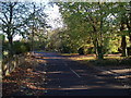

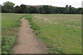
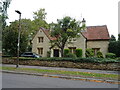
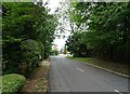
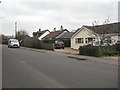
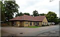
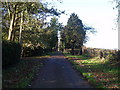
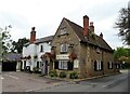

12 photos from this area
Area Information
Key information about the MK43 7RN including its size, population, and administrative classification.
- Area Type
- Postcode
- Area Size
- 9953 m²
- Population
- 2510
- Population Density
- 423 people/km²
House Prices in MK43 7RN
30
Properties
£208,526
Average Sold Price
£63,000
Lowest Price
£418,000
Highest Price
Showing 30 properties
| Address | Type | Beds | Baths | Last Sale Price | Last Sale Date | |
|---|---|---|---|---|---|---|
| 29 Dewlands, Oakley, MK43 7RN | Semi-detached | 3 | 1 | £310,000 | Aug 2024 | |
| 30 Dewlands, Oakley, MK43 7RN | Semi-detached | 4 | 2 | £418,000 | Jun 2024 | |
| 43 Dewlands, Oakley, MK43 7RN | Semi-detached | 3 | 1 | £337,000 | Jun 2024 | |
| 35 Dewlands, Oakley, MK43 7RN | Semi-detached | 3 | 1 | £350,000 | Aug 2023 | |
| Salanches, 41 Dewlands, Oakley, MK43 7RN | Terraced | - | - | £270,000 | Feb 2021 | |
| 48 Dewlands, Oakley, MK43 7RN | house | 3 | 1 | £257,000 | Dec 2015 | |
| 36 Dewlands, Oakley, MK43 7RN | house | - | - | £230,000 | Aug 2015 | |
| 27 Dewlands, Oakley, MK43 7RN | Terraced | - | - | £182,000 | Apr 2012 | |
| 42 Dewlands, Oakley, MK43 7RN | house | - | - | £205,000 | Mar 2012 | |
| 31 Dewlands, Oakley, MK43 7RN | Semi-detached | 3 | 1 | £177,500 | Feb 2012 |
Page 1 of 3
Energy Efficiency in MK43 7RN
Amenities
Schools
| Rank | School | Type | Entry gender | Ages |
|---|
Explore more schools in this area
Go to Schools tabDemographics
Household Size
Family (3-5 people)
most common
Accommodation Type
Houses
most common
Tenure
83
majority
Ethnic Group
White
most common
Religion
N/A
most common
Household Composition
N/A
most common
Age
47
median
Adults (30-64 years)
most common
Household Deprivation
N/A
with no deprivation
NS-SEC
47
in Lower managerial occupations
Explore more demographic insights in this area
Go to Demographics tabPlanning
Planning Constraints
- Flood RiskPremium
- Ramsar Wetland SitesPremium
- Area of Outstanding Natural BeautyPremium
- Protected Nature ReservePremium
- Protected WoodlandPremium