Area Overview for LU7 3EB
Photos of LU7 3EB
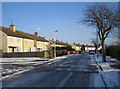
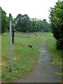
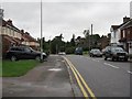
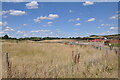
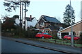
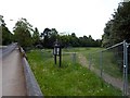
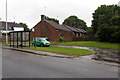
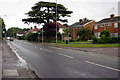
9 photos from this area
Area Information
Key information about the LU7 3EB including its size, population, and administrative classification.
- Area Type
- Postcode
- Area Size
- 1.2 hectares
- Population
- 2144
- Population Density
- 7000 people/km²
House Prices in LU7 3EB
45
Properties
£227,035
Average Sold Price
£86,000
Lowest Price
£430,000
Highest Price
Showing 45 properties
| Address | Type | Beds | Baths | Last Sale Price | Last Sale Date | |
|---|---|---|---|---|---|---|
| 81 Churchill Road, Leighton Buzzard, LU7 3EB | Terraced | 4 | 2 | £430,000 | Mar 2025 | |
| 61 Churchill Road, Leighton Buzzard, LU7 3EB | Semi-detached | 3 | 1 | £300,000 | Jun 2024 | |
| 77 Churchill Road, Leighton Buzzard, LU7 3EB | Semi-detached | 3 | 1 | £315,000 | Aug 2023 | |
| 53 Churchill Road, Leighton Buzzard, LU7 3EB | Semi-detached | 3 | 1 | £325,000 | Jul 2022 | |
| 103 Churchill Road, Leighton Buzzard, LU7 3EB | house | - | - | £328,000 | Oct 2021 | |
| 73 Churchill Road, Leighton Buzzard, LU7 3EB | Semi-detached | 3 | 1 | £240,000 | Jan 2019 | |
| 95 Churchill Road, Leighton Buzzard, LU7 3EB | Semi-detached | 3 | - | £234,000 | Aug 2016 | |
| 79 Churchill Road, Leighton Buzzard, LU7 3EB | house | - | - | £189,000 | Dec 2013 | |
| 93 Churchill Road, Leighton Buzzard, LU7 3EB | Semi-detached | - | - | £116,000 | May 2013 | |
| 83 Churchill Road, Leighton Buzzard, LU7 3EB | house | 3 | - | £157,995 | Aug 2012 |
Page 1 of 5
Energy Efficiency in LU7 3EB
Amenities
Schools
| Rank | School | Type | Entry gender | Ages |
|---|
Explore more schools in this area
Go to Schools tabDemographics
Household Size
Family (3-5 people)
most common
Accommodation Type
Houses
most common
Tenure
49
majority
Ethnic Group
White
most common
Religion
N/A
most common
Household Composition
N/A
most common
Age
47
median
Adults (30-64 years)
most common
Household Deprivation
N/A
with no deprivation
NS-SEC
28
in Lower managerial occupations
Explore more demographic insights in this area
Go to Demographics tabPlanning
Planning Constraints
- Flood RiskPremium
- Ramsar Wetland SitesPremium
- Area of Outstanding Natural BeautyPremium
- Protected Nature ReservePremium
- Protected WoodlandPremium