Area Overview for LU7 3BX
Photos of LU7 3BX
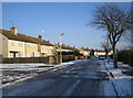
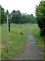
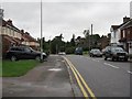
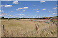
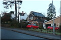
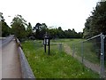
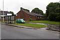
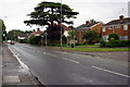
9 photos from this area
Area Information
Key information about the LU7 3BX including its size, population, and administrative classification.
- Area Type
- Postcode
- Area Size
- 9859 m²
- Population
- 2144
- Population Density
- 7000 people/km²
House Prices in LU7 3BX
51
Properties
£172,785
Average Sold Price
£74,000
Lowest Price
£259,950
Highest Price
Showing 51 properties
| Address | Type | Beds | Baths | Last Sale Price | Last Sale Date | |
|---|---|---|---|---|---|---|
| 72 Drakes Avenue, Leighton Buzzard, LU7 3BX | Flat | 2 | 2 | £205,000 | Sep 2025 | |
| 56 Drakes Avenue, Leighton Buzzard, LU7 3BX | Flat | 2 | 1 | £120,000 | Jan 2025 | |
| 12 Drakes Avenue, Leighton Buzzard, LU7 3BX | Flat | - | - | £203,000 | Dec 2024 | |
| 96 Drakes Avenue, Leighton Buzzard, LU7 3BX | Flat | - | - | £203,000 | Oct 2024 | |
| 74 Drakes Avenue, Leighton Buzzard, LU7 3BX | Flat | - | - | £197,500 | Jul 2024 | |
| 64 Drakes Avenue, Leighton Buzzard, LU7 3BX | Flat | 2 | 2 | £189,000 | Nov 2023 | |
| 102 Drakes Avenue, Leighton Buzzard, LU7 3BX | Flat | 2 | 2 | £186,000 | Aug 2023 | |
| 62 Drakes Avenue, Leighton Buzzard, LU7 3BX | Flat | - | - | £208,000 | Dec 2022 | |
| 38 Drakes Avenue, Leighton Buzzard, LU7 3BX | Flat | 2 | 2 | £190,000 | Jun 2022 | |
| 78 Drakes Avenue, Leighton Buzzard, LU7 3BX | Flat | - | - | £170,000 | Jun 2022 |
Page 1 of 6
Energy Efficiency in LU7 3BX
Amenities
Schools
| Rank | School | Type | Entry gender | Ages |
|---|
Explore more schools in this area
Go to Schools tabDemographics
Household Size
Family (3-5 people)
most common
Accommodation Type
Houses
most common
Tenure
49
majority
Ethnic Group
White
most common
Religion
N/A
most common
Household Composition
N/A
most common
Age
47
median
Adults (30-64 years)
most common
Household Deprivation
N/A
with no deprivation
NS-SEC
28
in Lower managerial occupations
Explore more demographic insights in this area
Go to Demographics tabPlanning
Planning Constraints
- Flood RiskPremium
- Ramsar Wetland SitesPremium
- Area of Outstanding Natural BeautyPremium
- Protected Nature ReservePremium
- Protected WoodlandPremium