Area Overview for LU4 9WT
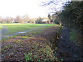
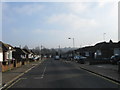
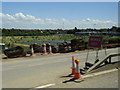
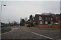
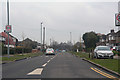
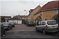
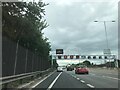
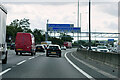
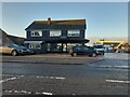
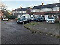
Photos of LU4 9WT


Area Information
LU4 9WT is a compact residential postcode in England, covering just 2,843 square metres and home to 2,277 people. Its high population density — 800,909 people per square kilometre — reflects a tightly woven community, ideal for those seeking proximity to urban conveniences without sacrificing space. The area’s character is shaped by its small size and strategic location, offering easy access to major transport hubs and retail centres. With a median age of 47 and a population skewed toward adults aged 30–64, the community is largely established, with a strong presence of Asian residents. Daily life here is defined by practicality: residents benefit from low crime risk, no flood or environmental constraints, and excellent digital connectivity. The area’s proximity to Luton’s transport infrastructure, including multiple railway stations and London Luton Airport, makes it a hub for commuters and travellers. While the housing stock is modest, the compact nature of LU4 9WT ensures a sense of familiarity, with homes and amenities clustered closely together.
- Area Type
- Postcode
- Area Size
- 2843 m²
- Population
- 2277
- Population Density
- 9211 people/km²
The property market in LU4 9WT is characterised by a mix of owner-occupied and rental homes, with 41% of residents owning their properties. The accommodation type is primarily houses, though the area’s small size and high density suggest these are likely modest, multi-family homes or terraced housing. Given the limited land area, the housing stock is constrained, making the immediate surroundings critical for buyers seeking more space. The low home ownership rate indicates a rental market that may cater to professionals requiring flexibility, particularly those working in nearby urban centres. For buyers, this means competition for available properties, with a focus on proximity to transport links and amenities. The area’s compact nature also means that property values may be influenced more by location than by the size or condition of individual homes.
House Prices in LU4 9WT
No properties found in this postcode.
Energy Efficiency in LU4 9WT
Living in LU4 9WT offers a blend of practicality and convenience, with retail and transport hubs within easy reach. The area is served by five notable retail outlets, including Asda Empire, Iceland Luton, and Lidl Hatters, providing access to everyday shopping needs. Proximity to London Luton Airport adds to the area’s appeal, making it ideal for frequent travellers or those working in aviation. While there is no mention of parks or leisure facilities in the data, the railway stations and retail options suggest a lifestyle focused on efficiency and accessibility. The compact nature of the area means amenities are closely clustered, reducing the need for long commutes. This makes LU4 9WT suitable for those prioritising convenience over expansive recreational spaces, with a strong emphasis on connectivity and practical living.
Amenities
Schools
| Rank | School | Type | Entry gender | Ages |
|---|
Explore more schools in this area
Go to Schools tabDemographics
The population of LU4 9WT skews toward adults aged 30–64, with a median age of 47. This suggests a community of settled professionals and families, rather than a transient or student population. Home ownership is relatively low at 41%, indicating that a majority of residents rent their homes. The accommodation type is predominantly houses, though the area’s high population density implies these are likely smaller, terraced or semi-detached properties. The predominant ethnic group is Asian, reflecting a culturally distinct demographic. While no specific deprivation data is provided, the low crime risk and lack of environmental constraints suggest a stable, functional living environment. The area’s demographics align with a mature, community-focused population, where proximity to transport and retail is prioritised over expansive living spaces.
Household Size
Accommodation Type
Tenure
Ethnic Group
Religion
Household Composition
Age
Household Deprivation
NS-SEC
Explore more demographic insights in this area
Go to Demographics tabPlanning
Planning Constraints
- Flood RiskPremium
- Ramsar Wetland SitesPremium
- Area of Outstanding Natural BeautyPremium
- Protected Nature ReservePremium
- Protected WoodlandPremium