Area Overview for LU4 9TG
Photos of LU4 9TG
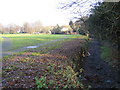
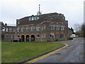
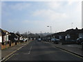
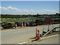
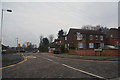
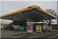
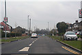
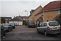


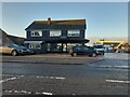
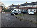
25 photos from this area
Area Information
Key information about the LU4 9TG including its size, population, and administrative classification.
- Area Type
- Postcode
- Area Size
- 2.5 hectares
- Population
- 2277
- Population Density
- 9211 people/km²
House Prices in LU4 9TG
65
Properties
£228,775
Average Sold Price
£57,000
Lowest Price
£415,000
Highest Price
Showing 65 properties
| Address | Type | Beds | Baths | Last Sale Price | Last Sale Date | |
|---|---|---|---|---|---|---|
| 47 Stoneygate Road, Luton, LU4 9TG | Bungalow | 2 | 1 | £325,000 | Oct 2025 | |
| 13 Stoneygate Road, Luton, LU4 9TG | house | - | - | £400,000 | Jun 2025 | |
| 35 Stoneygate Road, Luton, LU4 9TG | Semi-detached | 3 | 1 | £357,500 | Jan 2025 | |
| 27 Stoneygate Road, Luton, LU4 9TG | Semi-detached | 3 | - | £300,000 | Apr 2024 | |
| 24 Stoneygate Road, Luton, LU4 9TG | Semi-detached | 3 | 1 | £367,000 | Dec 2022 | |
| 10 Stoneygate Road, Luton, LU4 9TG | Semi-detached | 3 | 1 | £410,000 | Sep 2022 | |
| 50 Stoneygate Road, Luton, LU4 9TG | Semi-detached | 4 | 2 | £350,000 | Jan 2022 | |
| 51 Stoneygate Road, Luton, LU4 9TG | Bungalow | - | - | £310,000 | Oct 2021 | |
| 62 Stoneygate Road, Luton, LU4 9TG | house | - | - | £415,000 | Sep 2021 | |
| 12 Stoneygate Road, Luton, LU4 9TG | Semi-detached | 3 | - | £358,000 | Jun 2021 |
Page 1 of 7
Energy Efficiency in LU4 9TG
Amenities
Schools
| Rank | School | Type | Entry gender | Ages |
|---|
Explore more schools in this area
Go to Schools tabDemographics
Household Size
Family (3-5 people)
most common
Accommodation Type
Houses
most common
Tenure
41
majority
Ethnic Group
asian_total
most common
Religion
N/A
most common
Household Composition
N/A
most common
Age
47
median
Adults (30-64 years)
most common
Household Deprivation
N/A
with no deprivation
NS-SEC
21
in Lower managerial occupations
Explore more demographic insights in this area
Go to Demographics tabPlanning
Planning Constraints
- Flood RiskPremium
- Ramsar Wetland SitesPremium
- Area of Outstanding Natural BeautyPremium
- Protected Nature ReservePremium
- Protected WoodlandPremium