Area Overview for IG10 4ND
Photos of IG10 4ND
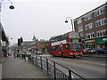
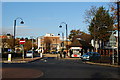
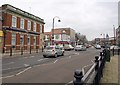
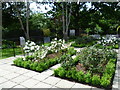
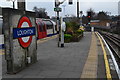
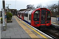
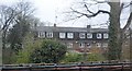
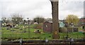
65 photos from this area
Area Information
Key information about the IG10 4ND including its size, population, and administrative classification.
- Area Type
- Postcode
- Area Size
- 8563 m²
- Population
- 1410
- Population Density
- 4553 people/km²
House Prices in IG10 4ND
10
Properties
£476,813
Average Sold Price
£155,000
Lowest Price
£912,500
Highest Price
Showing 10 properties
| Address | Type | Beds | Baths | Last Sale Price | Last Sale Date | |
|---|---|---|---|---|---|---|
| 78 Algers Road, Loughton, IG10 4ND | Detached | 4 | 2 | £912,500 | Feb 2024 | |
| 82 Algers Road, Loughton, IG10 4ND | house | - | - | £665,000 | Jan 2021 | |
| 80 Algers Road, Loughton, IG10 4ND | house | - | - | £650,000 | Jan 2020 | |
| 86 Algers Road, Loughton, IG10 4ND | Terraced | - | - | £390,000 | Oct 2006 | |
| 84 Algers Road, Loughton, IG10 4ND | house | - | - | £340,000 | Jun 2006 | |
| 63 Algers Road, Loughton, IG10 4ND | Semi-detached | - | - | £342,000 | Sep 2004 | |
| 61 Algers Road, Loughton, IG10 4ND | Semi-detached | - | - | £360,000 | Mar 2004 | |
| 59 Algers Road, Loughton, IG10 4ND | Detached | - | - | £155,000 | Feb 2001 | |
| 55 Algers Road, Loughton, IG10 4ND | house | 4 | - | - | - | |
| 57 Algers Road, Loughton, IG10 4ND | Semi-detached | - | - | - | - |
Energy Efficiency in IG10 4ND
Amenities
Schools
| Rank | School | Type | Entry gender | Ages |
|---|
Explore more schools in this area
Go to Schools tabDemographics
Household Size
Two person
most common
Accommodation Type
Houses
most common
Tenure
79
majority
Ethnic Group
White
most common
Religion
N/A
most common
Household Composition
N/A
most common
Age
47
median
Adults (30-64 years)
most common
Household Deprivation
N/A
with no deprivation
NS-SEC
48
in Lower managerial occupations
Explore more demographic insights in this area
Go to Demographics tabPlanning
Planning Constraints
- Flood RiskPremium
- Ramsar Wetland SitesPremium
- Area of Outstanding Natural BeautyPremium
- Protected Nature ReservePremium
- Protected WoodlandPremium