Area Overview for HP4 3EY
Photos of HP4 3EY
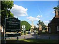
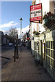
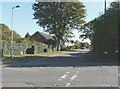
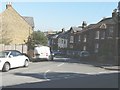
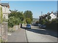
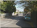
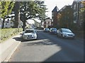
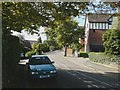
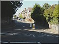
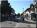
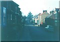
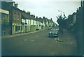
53 photos from this area
Area Information
Key information about the HP4 3EY including its size, population, and administrative classification.
- Area Type
- Postcode
- Area Size
- 9239 m²
- Population
- 1786
- Population Density
- 6687 people/km²
House Prices in HP4 3EY
23
Properties
£878,094
Average Sold Price
£212,000
Lowest Price
£1,675,000
Highest Price
Showing 23 properties
| Address | Type | Beds | Baths | Last Sale Price | Last Sale Date | |
|---|---|---|---|---|---|---|
| Dirleton, 2 Park View Road, Berkhamsted, HP4 3EY | Detached | 2 | 1 | £1,675,000 | Dec 2024 | |
| 8 Park View Road, Berkhamsted, HP4 3EY | house | 3 | - | £942,500 | Nov 2020 | |
| 5 Park View Road, Berkhamsted, HP4 3EY | Semi-detached | 3 | 2 | £1,150,000 | Oct 2019 | |
| 11 Park View Road, Berkhamsted, HP4 3EY | Detached | 5 | 3 | £1,193,000 | Oct 2016 | |
| Capri, 3 Park View Road, Berkhamsted, HP4 3EY | house | 4 | 3 | £1,030,000 | May 2016 | |
| 1 Park View Road, Berkhamsted, HP4 3EY | Detached | - | - | £1,500,000 | Dec 2015 | |
| 4A Park View Road, Berkhamsted, HP4 3EY | house | - | - | £1,025,000 | Nov 2015 | |
| 4 Park View Road, Berkhamsted, HP4 3EY | house | 5 | 1 | £895,000 | Aug 2014 | |
| 19 Park View Road, Berkhamsted, HP4 3EY | Semi-detached | 7 | - | £737,000 | Apr 2013 | |
| 13 Park View Road, Berkhamsted, HP4 3EY | house | - | - | £660,000 | Nov 2012 |
Page 1 of 3
Energy Efficiency in HP4 3EY
Amenities
Schools
| Rank | School | Type | Entry gender | Ages |
|---|
Explore more schools in this area
Go to Schools tabDemographics
Household Size
Family (3-5 people)
most common
Accommodation Type
Houses
most common
Tenure
80
majority
Ethnic Group
White
most common
Religion
N/A
most common
Household Composition
N/A
most common
Age
47
median
Adults (30-64 years)
most common
Household Deprivation
N/A
with no deprivation
NS-SEC
65
in Lower managerial occupations
Explore more demographic insights in this area
Go to Demographics tabPlanning
Planning Constraints
- Flood RiskPremium
- Ramsar Wetland SitesPremium
- Area of Outstanding Natural BeautyPremium
- Protected Nature ReservePremium
- Protected WoodlandPremium