Area Overview for HP4 1AB
Photos of HP4 1AB
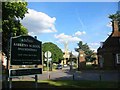
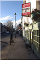
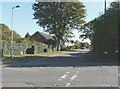
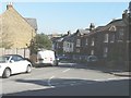
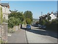
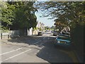
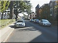
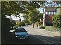
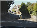
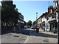
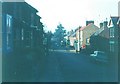
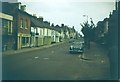
53 photos from this area
Area Information
Key information about the HP4 1AB including its size, population, and administrative classification.
- Area Type
- Postcode
- Area Size
- 4134 m²
- Population
- 1786
- Population Density
- 6687 people/km²
House Prices in HP4 1AB
35
Properties
£493,325
Average Sold Price
£215,000
Lowest Price
£950,000
Highest Price
Showing 35 properties
| Address | Type | Beds | Baths | Last Sale Price | Last Sale Date | |
|---|---|---|---|---|---|---|
| 247A High Street, Berkhamsted, HP4 1AB | Maisonette | - | - | £395,000 | Jun 2019 | |
| 257 High Street, Berkhamsted, HP4 1AB | house | 3 | 1 | £950,000 | Mar 2017 | |
| 253 High Street, Berkhamsted, HP4 1AB | house | - | - | £649,950 | Mar 2014 | |
| 255 High Street, Berkhamsted, HP4 1AB | house | - | - | £500,000 | Jun 2013 | |
| 247 High Street, Berkhamsted, HP4 1AB | Flat | 2 | 1 | £249,999 | Oct 2007 | |
| 259 High Street, Berkhamsted, HP4 1AB | Terraced | - | - | £215,000 | May 1999 | |
| Camilla House, 251 High Street, Berkhamsted, HP4 1AB | Terraced | 3 | 3 | - | - | |
| Apartment 9, Lanyon House, 263-265 High Street, Berkhamsted, HP4 1AB | Flat | - | - | - | - | |
| Apartment 8, Lanyon House, 263-265 High Street, Berkhamsted, HP4 1AB | Flat | - | - | - | - | |
| Apartment 5, Lanyon House, 263-265 High Street, Berkhamsted, HP4 1AB | Flat | - | - | - | - |
Page 1 of 4
Energy Efficiency in HP4 1AB
Amenities
Schools
| Rank | School | Type | Entry gender | Ages |
|---|
Explore more schools in this area
Go to Schools tabDemographics
Household Size
Family (3-5 people)
most common
Accommodation Type
Houses
most common
Tenure
80
majority
Ethnic Group
White
most common
Religion
N/A
most common
Household Composition
N/A
most common
Age
47
median
Adults (30-64 years)
most common
Household Deprivation
N/A
with no deprivation
NS-SEC
65
in Lower managerial occupations
Explore more demographic insights in this area
Go to Demographics tabPlanning
Planning Constraints
- Flood RiskPremium
- Ramsar Wetland SitesPremium
- Area of Outstanding Natural BeautyPremium
- Protected Nature ReservePremium
- Protected WoodlandPremium