Area Overview for HP4 3DG
Photos of HP4 3DG
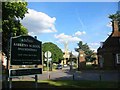
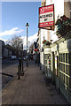
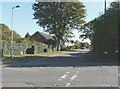
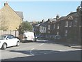
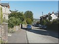
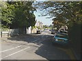
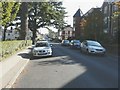
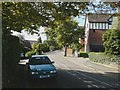
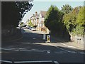
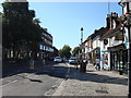
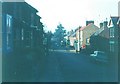
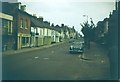
53 photos from this area
Area Information
Key information about the HP4 3DG including its size, population, and administrative classification.
- Area Type
- Postcode
- Area Size
- 6479 m²
- Population
- 1786
- Population Density
- 6687 people/km²
House Prices in HP4 3DG
19
Properties
£695,091
Average Sold Price
£250,000
Lowest Price
£1,400,000
Highest Price
Showing 19 properties
| Address | Type | Beds | Baths | Last Sale Price | Last Sale Date | |
|---|---|---|---|---|---|---|
| 19A Charles Street, Berkhamsted, HP4 3DG | Terraced | 2 | 1 | £515,000 | Nov 2024 | |
| 21 Charles Street, Berkhamsted, HP4 3DG | Terraced | 2 | 2 | £583,500 | Oct 2024 | |
| 9 Charles Street, Berkhamsted, HP4 3DG | Terraced | 5 | 5 | £1,400,000 | Jan 2024 | |
| 7 Charles Street, Berkhamsted, HP4 3DG | house | 5 | - | £1,350,000 | Dec 2019 | |
| 31 Charles Street, Berkhamsted, HP4 3DG | house | 3 | - | £828,000 | Nov 2018 | |
| 3 Charles Street, Berkhamsted, HP4 3DG | Semi-detached | 4 | 3 | £1,075,000 | Apr 2017 | |
| 23 Charles Street, Berkhamsted, HP4 3DG | house | - | - | £795,000 | May 2016 | |
| 5 Charles Street, Berkhamsted, HP4 3DG | house | - | - | £875,000 | May 2010 | |
| 19 Charles Street, Berkhamsted, HP4 3DG | Terraced | - | - | £560,000 | Mar 2008 | |
| 25 Charles Street, Berkhamsted, HP4 3DG | house | - | - | £499,950 | Jun 2007 |
Page 1 of 2
Energy Efficiency in HP4 3DG
Amenities
Schools
| Rank | School | Type | Entry gender | Ages |
|---|
Explore more schools in this area
Go to Schools tabDemographics
Household Size
Family (3-5 people)
most common
Accommodation Type
Houses
most common
Tenure
80
majority
Ethnic Group
White
most common
Religion
N/A
most common
Household Composition
N/A
most common
Age
47
median
Adults (30-64 years)
most common
Household Deprivation
N/A
with no deprivation
NS-SEC
65
in Lower managerial occupations
Explore more demographic insights in this area
Go to Demographics tabPlanning
Planning Constraints
- Flood RiskPremium
- Ramsar Wetland SitesPremium
- Area of Outstanding Natural BeautyPremium
- Protected Nature ReservePremium
- Protected WoodlandPremium