Area Overview for CO16 8PT
Photos of CO16 8PT
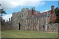
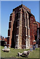
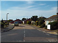
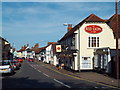
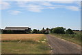
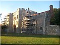

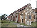
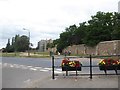
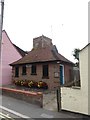
49 photos from this area
Area Information
Key information about the CO16 8PT including its size, population, and administrative classification.
- Area Type
- Postcode
- Area Size
- 3766 m²
- Population
- 1450
- Population Density
- 85 people/km²
House Prices in CO16 8PT
8
Properties
£160,071
Average Sold Price
£69,995
Lowest Price
£275,000
Highest Price
Showing 8 properties
| Address | Type | Beds | Baths | Last Sale Price | Last Sale Date | |
|---|---|---|---|---|---|---|
| 153 Clacton Road, St Osyth, CO16 8PT | house | - | - | £275,000 | Oct 2019 | |
| 143 Clacton Road, St Osyth, CO16 8PT | Semi-detached | 3 | 1 | £222,500 | Aug 2019 | |
| 141 Clacton Road, St Osyth, CO16 8PT | Semi-detached | 4 | 1 | £197,500 | Sep 2007 | |
| 145 Clacton Road, St Osyth, CO16 8PT | Semi-detached | - | - | £165,000 | May 2007 | |
| 147 Clacton Road, St Osyth, CO16 8PT | Bungalow | 3 | 2 | £117,000 | Aug 2001 | |
| 149 Clacton Road, St Osyth, CO16 8PT | Semi-detached | - | - | £73,500 | Feb 2001 | |
| 151 Clacton Road, St Osyth, CO16 8PT | Semi-detached | 2 | 1 | £69,995 | Jul 2000 | |
| 139 Clacton Road, St Osyth, CO16 8PT | house | - | - | - | - |
Energy Efficiency in CO16 8PT
Amenities
Schools
| Rank | School | Type | Entry gender | Ages |
|---|
Explore more schools in this area
Go to Schools tabDemographics
Household Size
Two person
most common
Accommodation Type
Houses
most common
Tenure
81
majority
Ethnic Group
White
most common
Religion
N/A
most common
Household Composition
N/A
most common
Age
47
median
Adults (30-64 years)
most common
Household Deprivation
N/A
with no deprivation
NS-SEC
27
in Lower managerial occupations
Explore more demographic insights in this area
Go to Demographics tabPlanning
Planning Constraints
- Flood RiskPremium
- Ramsar Wetland SitesPremium
- Area of Outstanding Natural BeautyPremium
- Protected Nature ReservePremium
- Protected WoodlandPremium