Area Overview for CO16 8PS
Photos of CO16 8PS
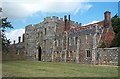
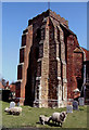
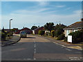
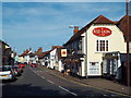
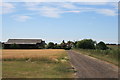
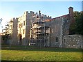
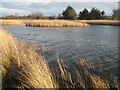
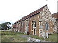
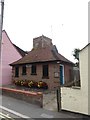
49 photos from this area
Area Information
Key information about the CO16 8PS including its size, population, and administrative classification.
- Area Type
- Postcode
- Area Size
- 3808 m²
- Population
- 1450
- Population Density
- 85 people/km²
House Prices in CO16 8PS
8
Properties
£162,083
Average Sold Price
£31,000
Lowest Price
£275,000
Highest Price
Showing 8 properties
| Address | Type | Beds | Baths | Last Sale Price | Last Sale Date | |
|---|---|---|---|---|---|---|
| Stella, Nassau Road, St Osyth, CO16 8PS | house | - | - | £210,000 | Jun 2022 | |
| Nook, Nassau Road, St Osyth, CO16 8PS | Bungalow | - | - | £275,000 | Nov 2019 | |
| Reddings, Nassau Road, St Osyth, CO16 8PS | Bungalow | 2 | - | £215,000 | Jul 2014 | |
| Sunnydene, Nassau Road, St Osyth, CO16 8PS | Terraced | - | - | £186,000 | Dec 2007 | |
| Prestwich, Nassau Road, St Osyth, CO16 8PS | Semi-detached | - | - | £55,500 | Jun 1998 | |
| Haroldene, Nassau Road, St Osyth, CO16 8PS | Terraced | - | - | £31,000 | Nov 1996 | |
| Electricity Sub Station, Nassau Road, St Osyth, CO16 8PS | commercial | - | - | - | - | |
| Lyndhurst, Nassau Road, St Osyth, CO16 8PS | house | - | - | - | - |
Energy Efficiency in CO16 8PS
Amenities
Schools
| Rank | School | Type | Entry gender | Ages |
|---|
Explore more schools in this area
Go to Schools tabDemographics
Household Size
Two person
most common
Accommodation Type
Houses
most common
Tenure
81
majority
Ethnic Group
White
most common
Religion
N/A
most common
Household Composition
N/A
most common
Age
47
median
Adults (30-64 years)
most common
Household Deprivation
N/A
with no deprivation
NS-SEC
27
in Lower managerial occupations
Explore more demographic insights in this area
Go to Demographics tabPlanning
Planning Constraints
- Flood RiskPremium
- Ramsar Wetland SitesPremium
- Area of Outstanding Natural BeautyPremium
- Protected Nature ReservePremium
- Protected WoodlandPremium