Area Overview for CO16 8EP
Photos of CO16 8EP
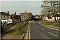
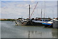
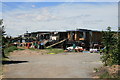
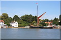
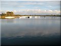
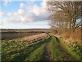
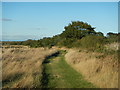

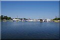
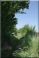
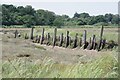
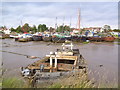
29 photos from this area
Area Information
Key information about the CO16 8EP including its size, population, and administrative classification.
- Area Type
- Postcode
- Area Size
- 21.3 hectares
- Population
- 1704
- Population Density
- 162 people/km²
House Prices in CO16 8EP
37
Properties
£351,937
Average Sold Price
£37,000
Lowest Price
£650,000
Highest Price
Showing 37 properties
| Address | Type | Beds | Baths | Last Sale Price | Last Sale Date | |
|---|---|---|---|---|---|---|
| Blacktiles, 38 Point Clear Road, St Osyth, CO16 8EP | house | 3 | 2 | £435,000 | Jul 2025 | |
| Lakeside Oaks, 23 Point Clear Road, St Osyth, CO16 8EP | Detached | 4 | 2 | £572,500 | Oct 2023 | |
| 31 Point Clear Road, St Osyth, CO16 8EP | Detached | 3 | 1 | £500,000 | May 2022 | |
| 40 Point Clear Road, St Osyth, CO16 8EP | house | - | - | £530,000 | Nov 2021 | |
| 28 Point Clear Road, St Osyth, CO16 8EP | house | 3 | 1 | £305,000 | Feb 2021 | |
| Lakeside Oaks, 21 Point Clear Road, St Osyth, CO16 8EP | Detached | 4 | 2 | £645,000 | Nov 2020 | |
| 26 Point Clear Road, St Osyth, CO16 8EP | Chalet | 2 | 1 | £287,000 | Sep 2019 | |
| Casa Rio, 9 Point Clear Road, St Osyth, CO16 8EP | Detached | 4 | 2 | £650,000 | Aug 2019 | |
| 15 Point Clear Road, St Osyth, CO16 8EP | Bungalow | 4 | 1 | £365,000 | Aug 2019 | |
| 35 Point Clear Road, St Osyth, CO16 8EP | Detached | 4 | 3 | £418,000 | Jul 2019 |
Page 1 of 4
Energy Efficiency in CO16 8EP
Amenities
Schools
| Rank | School | Type | Entry gender | Ages |
|---|
Explore more schools in this area
Go to Schools tabDemographics
Household Size
One person
most common
Accommodation Type
Houses
most common
Tenure
59
majority
Ethnic Group
White
most common
Religion
N/A
most common
Household Composition
N/A
most common
Age
47
median
Adults (30-64 years)
most common
Household Deprivation
N/A
with no deprivation
NS-SEC
20
in Lower managerial occupations
Explore more demographic insights in this area
Go to Demographics tabPlanning
Planning Constraints
- Flood RiskPremium
- Ramsar Wetland SitesPremium
- Area of Outstanding Natural BeautyPremium
- Protected Nature ReservePremium
- Protected WoodlandPremium