Area Overview for CO10 1QX
Photos of CO10 1QX
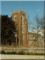
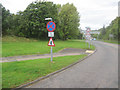
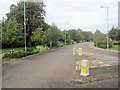
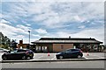
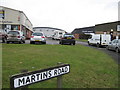
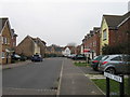
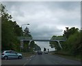
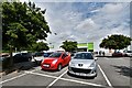
14 photos from this area
Area Information
Key information about the CO10 1QX including its size, population, and administrative classification.
- Area Type
- Postcode
- Area Size
- 2.0 hectares
- Population
- 1583
- Population Density
- 6107 people/km²
House Prices in CO10 1QX
47
Properties
£148,816
Average Sold Price
£63,000
Lowest Price
£212,000
Highest Price
Showing 47 properties
| Address | Type | Beds | Baths | Last Sale Price | Last Sale Date | |
|---|---|---|---|---|---|---|
| 11 Second Avenue, Sudbury, CO10 1QX | house | 3 | 1 | £210,000 | Nov 2025 | |
| 59 Second Avenue, Sudbury, CO10 1QX | house | 2 | 1 | £207,000 | Jul 2024 | |
| 83 Second Avenue, Sudbury, CO10 1QX | Retail | 2 | 1 | £212,000 | Sep 2022 | |
| 55 Second Avenue, Sudbury, CO10 1QX | house | - | - | £175,000 | Nov 2021 | |
| 31 Second Avenue, Sudbury, CO10 1QX | house | - | - | £180,000 | Feb 2021 | |
| 45 Second Avenue, Sudbury, CO10 1QX | Semi-detached | - | - | £175,000 | Mar 2019 | |
| 15 Second Avenue, Sudbury, CO10 1QX | Terraced | 3 | 1 | £178,000 | Aug 2018 | |
| 47 Second Avenue, Sudbury, CO10 1QX | Semi-detached | 3 | - | £183,500 | Sep 2017 | |
| 7 Second Avenue, Sudbury, CO10 1QX | Terraced | 3 | - | £170,000 | Dec 2016 | |
| 43 Second Avenue, Sudbury, CO10 1QX | Semi-detached | 2 | - | £155,000 | Sep 2016 |
Page 1 of 5
Energy Efficiency in CO10 1QX
Amenities
Schools
| Rank | School | Type | Entry gender | Ages |
|---|
Explore more schools in this area
Go to Schools tabDemographics
Household Size
Family (3-5 people)
most common
Accommodation Type
Houses
most common
Tenure
50
majority
Ethnic Group
White
most common
Religion
N/A
most common
Household Composition
N/A
most common
Age
47
median
Adults (30-64 years)
most common
Household Deprivation
N/A
with no deprivation
NS-SEC
22
in Lower managerial occupations
Explore more demographic insights in this area
Go to Demographics tabPlanning
Planning Constraints
- Flood RiskPremium
- Ramsar Wetland SitesPremium
- Area of Outstanding Natural BeautyPremium
- Protected Nature ReservePremium
- Protected WoodlandPremium