Area Overview for CO10 1YZ
Photos of CO10 1YZ
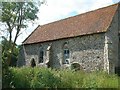
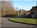
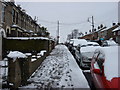
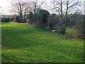
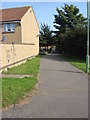
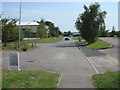
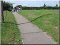
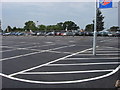
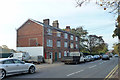
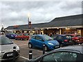
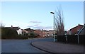
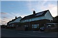
62 photos from this area
Area Information
Key information about the CO10 1YZ including its size, population, and administrative classification.
- Area Type
- Postcode
- Area Size
- 2.5 hectares
- Population
- Not available
- Population Density
- Not available
House Prices in CO10 1YZ
70
Properties
£125,582
Average Sold Price
£37,000
Lowest Price
£230,000
Highest Price
Showing 70 properties
| Address | Type | Beds | Baths | Last Sale Price | Last Sale Date | |
|---|---|---|---|---|---|---|
| 63 Essex Avenue, Sudbury, CO10 1YZ | Terraced | 3 | 1 | £190,000 | Jan 2025 | |
| 23 Essex Avenue, Sudbury, CO10 1YZ | Terraced | 3 | 1 | £225,000 | Aug 2023 | |
| 36 Essex Avenue, Sudbury, CO10 1YZ | Terraced | 3 | 1 | £230,000 | Feb 2022 | |
| 41 Essex Avenue, Sudbury, CO10 1YZ | Terraced | 3 | 1 | £205,000 | Jan 2022 | |
| 25 Essex Avenue, Sudbury, CO10 1YZ | Terraced | 3 | 1 | £175,000 | Aug 2020 | |
| 30 Essex Avenue, Sudbury, CO10 1YZ | house | 3 | 1 | £156,000 | Aug 2020 | |
| 26 Essex Avenue, Sudbury, CO10 1YZ | Terraced | 3 | 1 | £148,000 | Jun 2020 | |
| 61 Essex Avenue, Sudbury, CO10 1YZ | house | - | - | £172,500 | Jun 2020 | |
| 56 Essex Avenue, Sudbury, CO10 1YZ | Terraced | 3 | - | £170,000 | Mar 2019 | |
| 47 Essex Avenue, Sudbury, CO10 1YZ | Detached | 3 | 1 | £195,000 | Jan 2019 |
Page 1 of 7
Energy Efficiency in CO10 1YZ
Amenities
Schools
| Rank | School | Type | Entry gender | Ages |
|---|
Explore more schools in this area
Go to Schools tabDemographics
Household Size
Two person
most common
Accommodation Type
Houses
most common
Tenure
53
majority
Ethnic Group
White
most common
Religion
N/A
most common
Household Composition
N/A
most common
Age
47
median
Adults (30-64 years)
most common
Household Deprivation
N/A
with no deprivation
NS-SEC
24
in Lower managerial occupations
Explore more demographic insights in this area
Go to Demographics tabPlanning
Planning Constraints
- Flood RiskPremium
- Ramsar Wetland SitesPremium
- Area of Outstanding Natural BeautyPremium
- Protected Nature ReservePremium
- Protected WoodlandPremium