Area Overview for CM13 2QL
Photos of CM13 2QL
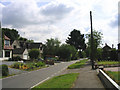
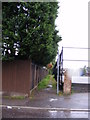
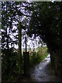
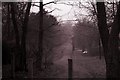
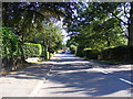
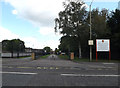
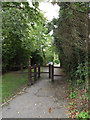
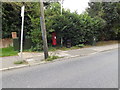
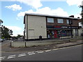
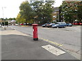
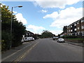
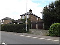
41 photos from this area
Area Information
Key information about the CM13 2QL including its size, population, and administrative classification.
- Area Type
- Postcode
- Area Size
- 2.7 hectares
- Population
- 2512
- Population Density
- 1300 people/km²
House Prices in CM13 2QL
36
Properties
£756,937
Average Sold Price
£18,000
Lowest Price
£1,810,000
Highest Price
Showing 36 properties
| Address | Type | Beds | Baths | Last Sale Price | Last Sale Date | |
|---|---|---|---|---|---|---|
| 25 Park Avenue, Hutton, CM13 2QL | house | 6 | - | £1,725,000 | Feb 2022 | |
| 18 Park Avenue, Hutton, CM13 2QL | Detached | 3 | - | £1,250,000 | Jan 2022 | |
| 21 Park Avenue, Hutton, CM13 2QL | Retail | 4 | 3 | £1,050,000 | Dec 2021 | |
| 29 Park Avenue, Hutton, CM13 2QL | Detached | 4 | 1 | £1,810,000 | Sep 2021 | |
| 11 Park Avenue, Hutton, CM13 2QL | house | - | - | £749,995 | Jun 2021 | |
| 27 Park Avenue, Hutton, CM13 2QL | house | - | - | £1,180,000 | Apr 2021 | |
| 7 Park Avenue, Hutton, CM13 2QL | house | - | - | £768,000 | Mar 2019 | |
| 1 Park Avenue, Hutton, CM13 2QL | house | - | - | £1,075,000 | Jan 2019 | |
| 12 Park Avenue, Hutton, CM13 2QL | house | - | - | £1,525,000 | Nov 2018 | |
| 20 Park Avenue, Hutton, CM13 2QL | house | - | - | £660,000 | Feb 2017 |
Page 1 of 4
Energy Efficiency in CM13 2QL
Amenities
Schools
| Rank | School | Type | Entry gender | Ages |
|---|
Explore more schools in this area
Go to Schools tabDemographics
Household Size
Family (3-5 people)
most common
Accommodation Type
Houses
most common
Tenure
89
majority
Ethnic Group
White
most common
Religion
N/A
most common
Household Composition
N/A
most common
Age
47
median
Adults (30-64 years)
most common
Household Deprivation
N/A
with no deprivation
NS-SEC
51
in Lower managerial occupations
Explore more demographic insights in this area
Go to Demographics tabPlanning
Planning Constraints
- Flood RiskPremium
- Ramsar Wetland SitesPremium
- Area of Outstanding Natural BeautyPremium
- Protected Nature ReservePremium
- Protected WoodlandPremium