Area Overview for CM12 9TZ
Photos of CM12 9TZ
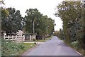
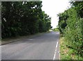
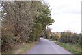
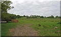
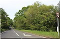
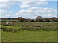
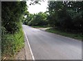
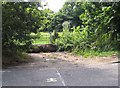
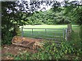
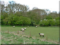
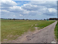
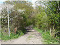
13 photos from this area
Area Information
Key information about the CM12 9TZ including its size, population, and administrative classification.
- Area Type
- Postcode
- Area Size
- 78.2 hectares
- Population
- 1502
- Population Density
- 156 people/km²
House Prices in CM12 9TZ
11
Properties
£378,000
Average Sold Price
£110,000
Lowest Price
£760,000
Highest Price
Showing 11 properties
| Address | Type | Beds | Baths | Last Sale Price | Last Sale Date | |
|---|---|---|---|---|---|---|
| The Willows, Dunton Road, Little Burstead, Billericay, CM12 9TZ | storage_distribution | - | - | £760,000 | Mar 2017 | |
| 1, Southfields Chase, Dunton Road, Little Burstead, Billericay, CM12 9TZ | Flat | - | - | £302,000 | Jan 2006 | |
| Pleasant View, Dunton Road, Little Burstead, Billericay, CM12 9TZ | Semi-detached | - | - | £110,000 | Jan 2004 | |
| Streambridge, Dunton Road, Little Burstead, Billericay, CM12 9TZ | Semi-detached | - | - | £340,000 | Jul 2003 | |
| Briar Bank, Dunton Road, Little Burstead, Billericay, CM12 9TZ | Bungalow | 2 | 1 | - | - | |
| Marwood, Dunton Road, Little Burstead, Billericay, CM12 9TZ | Detached | 4 | - | - | - | |
| Ladyspring Lodge, Dunton Road, Little Burstead, Billericay, CM12 9TZ | Detached | - | - | - | - | |
| Dunton Bootsale Site, Dunton Road, Little Burstead, Billericay, CM12 9TZ | commercial | - | - | - | - | |
| Gravelpit Wood, Dunton Road, Little Burstead, Billericay, CM12 9TZ | Leisure | - | - | - | - | |
| Windemere, Dunton Road, Little Burstead, Billericay, CM12 9TZ | Detached | - | - | - | - |
Page 1 of 2
Energy Efficiency in CM12 9TZ
Amenities
Schools
| Rank | School | Type | Entry gender | Ages |
|---|
Explore more schools in this area
Go to Schools tabDemographics
Household Size
Family (3-5 people)
most common
Accommodation Type
Houses
most common
Tenure
94
majority
Ethnic Group
White
most common
Religion
N/A
most common
Household Composition
N/A
most common
Age
47
median
Adults (30-64 years)
most common
Household Deprivation
N/A
with no deprivation
NS-SEC
42
in Lower managerial occupations
Explore more demographic insights in this area
Go to Demographics tabPlanning
Planning Constraints
- Flood RiskPremium
- Ramsar Wetland SitesPremium
- Area of Outstanding Natural BeautyPremium
- Protected Nature ReservePremium
- Protected WoodlandPremium