Area Overview for CM12 9SL
Photos of CM12 9SL
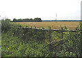
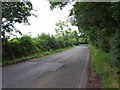
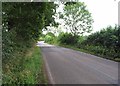

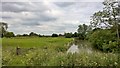
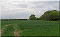
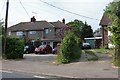
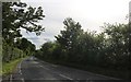
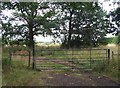
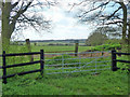
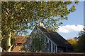
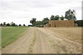
16 photos from this area
Area Information
Key information about the CM12 9SL including its size, population, and administrative classification.
- Area Type
- Postcode
- Area Size
- 33.0 hectares
- Population
- 2162
- Population Density
- 177 people/km²
House Prices in CM12 9SL
9
Properties
£549,200
Average Sold Price
£282,600
Lowest Price
£870,000
Highest Price
Showing 9 properties
| Address | Type | Beds | Baths | Last Sale Price | Last Sale Date | |
|---|---|---|---|---|---|---|
| 98 Billericay Road, Herongate, CM12 9SL | Bungalow | - | - | £870,000 | Nov 2021 | |
| 102 Billericay Road, Herongate, CM12 9SL | Bungalow | - | - | £495,000 | Jun 2004 | |
| Keepers Cottage, 145 Billericay Road, Herongate, CM12 9SL | Bungalow | - | - | £282,600 | Jun 1998 | |
| Herongate Village Cattery, Cattery, Broadview Farm, 104 Billericay Road, Herongate, CM12 9SL | commercial | - | - | - | - | |
| Park Hill Farm, Billericay Road, Herongate, CM12 9SL | Farm | - | - | - | - | |
| Orchard View, 102A Billericay Road, Herongate, CM12 9SL | house | - | - | - | - | |
| Pippin Lodge, 102B Billericay Road, Herongate, CM12 9SL | Bungalow | - | - | - | - | |
| 100 Billericay Road, Herongate, CM12 9SL | Detached | - | - | - | - | |
| Broadview Farm, 104 Billericay Road, Herongate, CM12 9SL | Detached | - | - | - | - |
Energy Efficiency in CM12 9SL
Amenities
Schools
| Rank | School | Type | Entry gender | Ages |
|---|
Explore more schools in this area
Go to Schools tabDemographics
Household Size
Family (3-5 people)
most common
Accommodation Type
Houses
most common
Tenure
85
majority
Ethnic Group
White
most common
Religion
N/A
most common
Household Composition
N/A
most common
Age
47
median
Adults (30-64 years)
most common
Household Deprivation
N/A
with no deprivation
NS-SEC
45
in Lower managerial occupations
Explore more demographic insights in this area
Go to Demographics tabPlanning
Planning Constraints
- Flood RiskPremium
- Ramsar Wetland SitesPremium
- Area of Outstanding Natural BeautyPremium
- Protected Nature ReservePremium
- Protected WoodlandPremium