Area Overview for CM13 3SH
Photos of CM13 3SH
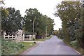
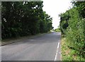
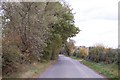
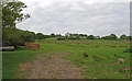
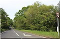
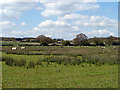
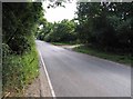
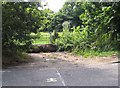
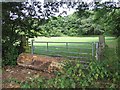
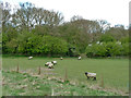
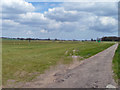
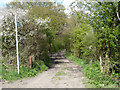
13 photos from this area
Area Information
Key information about the CM13 3SH including its size, population, and administrative classification.
- Area Type
- Postcode
- Area Size
- 38.3 hectares
- Population
- 1704
- Population Density
- 918 people/km²
House Prices in CM13 3SH
15
Properties
£545,050
Average Sold Price
£177,000
Lowest Price
£960,000
Highest Price
Showing 15 properties
| Address | Type | Beds | Baths | Last Sale Price | Last Sale Date | |
|---|---|---|---|---|---|---|
| Meadowlands, Dunton Road, Dunton, Basildon, CM13 3SH | Bungalow | 3 | 2 | £960,000 | Oct 2023 | |
| Maple Lee Farm, Dunton Road, Dunton, Basildon, CM13 3SH | Detached | 4 | 2 | £910,000 | Feb 2019 | |
| Dunton Wayletts Farm, Brentwood Road, Dunton, Brentwood, CM13 3SH | Bungalow | - | - | £728,500 | Jan 2017 | |
| Rippleside, Dunton Road, Dunton, Basildon, CM13 3SH | Bungalow | 2 | - | £835,000 | Nov 2015 | |
| Rose Cottage, Dunton Road, Dunton, Basildon, CM13 3SH | house | 4 | - | £755,000 | Apr 2007 | |
| Timber Cottage, Dunton Road, Dunton, Basildon, CM13 3SH | Detached | - | - | £300,000 | May 2004 | |
| Mayville, Dunton Road, Dunton, Basildon, CM13 3SH | Detached | 2 | 5 | £250,000 | Jun 2000 | |
| Stanwood, Dunton Road, Dunton, Basildon, CM13 3SH | Detached | - | - | £177,000 | Aug 1999 | |
| The Birches, Dunton Road, Dunton, Basildon, CM13 3SH | Detached | - | - | £300,000 | Jul 1999 | |
| Windfalls, Dunton Road, Dunton, Basildon, CM13 3SH | Detached | - | - | £235,000 | Jun 1996 |
Page 1 of 2
Energy Efficiency in CM13 3SH
Amenities
Schools
| Rank | School | Type | Entry gender | Ages |
|---|
Explore more schools in this area
Go to Schools tabDemographics
Household Size
Family (3-5 people)
most common
Accommodation Type
Houses
most common
Tenure
76
majority
Ethnic Group
White
most common
Religion
N/A
most common
Household Composition
N/A
most common
Age
47
median
Adults (30-64 years)
most common
Household Deprivation
N/A
with no deprivation
NS-SEC
34
in Lower managerial occupations
Explore more demographic insights in this area
Go to Demographics tabPlanning
Planning Constraints
- Flood RiskPremium
- Ramsar Wetland SitesPremium
- Area of Outstanding Natural BeautyPremium
- Protected Nature ReservePremium
- Protected WoodlandPremium