Area Overview for CB6 3NA
Photos of CB6 3NA

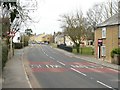
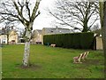
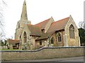
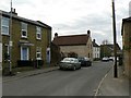
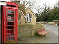
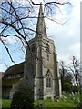

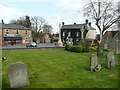
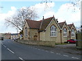

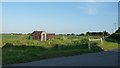
63 photos from this area
Area Information
Key information about the CB6 3NA including its size, population, and administrative classification.
- Area Type
- Postcode
- Area Size
- 5603 m²
- Population
- 2450
- Population Density
- 134 people/km²
House Prices in CB6 3NA
16
Properties
£217,690
Average Sold Price
£77,000
Lowest Price
£390,000
Highest Price
Showing 16 properties
| Address | Type | Beds | Baths | Last Sale Price | Last Sale Date | |
|---|---|---|---|---|---|---|
| 1 King Cob, Stretham, CB6 3NA | house | 4 | - | £390,000 | Sep 2025 | |
| 9 King Cob, Stretham, CB6 3NA | Bungalow | 3 | 1 | £325,000 | Jul 2024 | |
| 16 King Cob, Stretham, CB6 3NA | Bungalow | 2 | - | £253,000 | Apr 2022 | |
| 11 King Cob, Stretham, CB6 3NA | Bungalow | - | - | £266,000 | Sep 2016 | |
| 14 King Cob, Stretham, CB6 3NA | Bungalow | 2 | - | £200,000 | Aug 2016 | |
| 10 King Cob, Stretham, CB6 3NA | house | 3 | - | £174,950 | Jun 2012 | |
| 18 King Cob, Stretham, CB6 3NA | Detached | - | - | £169,995 | Nov 2005 | |
| 4 King Cob, Stretham, CB6 3NA | Detached | - | - | £157,950 | Aug 2005 | |
| 2 King Cob, Stretham, CB6 3NA | Detached | - | - | £163,000 | Feb 2005 | |
| 17 King Cob, Stretham, CB6 3NA | Bungalow | - | - | £77,000 | Oct 1999 |
Page 1 of 2
Energy Efficiency in CB6 3NA
Amenities
Schools
| Rank | School | Type | Entry gender | Ages |
|---|
Explore more schools in this area
Go to Schools tabDemographics
Household Size
Two person
most common
Accommodation Type
Houses
most common
Tenure
78
majority
Ethnic Group
White
most common
Religion
N/A
most common
Household Composition
N/A
most common
Age
47
median
Adults (30-64 years)
most common
Household Deprivation
N/A
with no deprivation
NS-SEC
39
in Lower managerial occupations
Explore more demographic insights in this area
Go to Demographics tabPlanning
Planning Constraints
- Flood RiskPremium
- Ramsar Wetland SitesPremium
- Area of Outstanding Natural BeautyPremium
- Protected Nature ReservePremium
- Protected WoodlandPremium