Area Overview for CB6 3LB
Photos of CB6 3LB
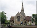
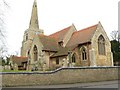
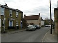
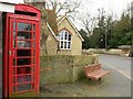
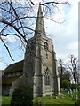
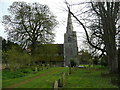
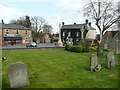
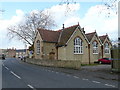
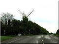
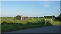
63 photos from this area
Area Information
Key information about the CB6 3LB including its size, population, and administrative classification.
- Area Type
- Postcode
- Area Size
- 1.2 hectares
- Population
- 2450
- Population Density
- 134 people/km²
House Prices in CB6 3LB
19
Properties
£228,750
Average Sold Price
£62,500
Lowest Price
£350,000
Highest Price
Showing 19 properties
| Address | Type | Beds | Baths | Last Sale Price | Last Sale Date | |
|---|---|---|---|---|---|---|
| 8 Cage Lane, Stretham, CB6 3LB | Bungalow | 3 | - | £350,000 | May 2021 | |
| 9A Cage Lane, Stretham, CB6 3LB | Detached | 3 | 1 | £312,500 | Feb 2020 | |
| 14 Cage Lane, Stretham, CB6 3LB | house | 3 | 1 | £332,000 | Jan 2020 | |
| 3 Cage Lane, Stretham, CB6 3LB | Bungalow | 2 | 1 | £250,000 | Sep 2018 | |
| 10 Cage Lane, Stretham, CB6 3LB | Bungalow | 3 | - | £268,000 | Oct 2015 | |
| 13 Cage Lane, Stretham, CB6 3LB | Bungalow | 3 | - | £280,000 | May 2013 | |
| Stretham Sugarcraft Centre, 5 Cage Lane, Stretham, CB6 3LB | house | 4 | - | £245,000 | Dec 2010 | |
| 12 Cage Lane, Stretham, CB6 3LB | Detached | 4 | 1 | £200,000 | Sep 2009 | |
| J & A Kemp, 4 Cage Lane, Stretham, CB6 3LB | Semi-detached | - | - | £250,000 | Apr 2004 | |
| 1 Cage Lane, Stretham, CB6 3LB | Detached | - | - | £115,000 | Dec 2000 |
Page 1 of 2
Energy Efficiency in CB6 3LB
Amenities
Schools
| Rank | School | Type | Entry gender | Ages |
|---|
Explore more schools in this area
Go to Schools tabDemographics
Household Size
Two person
most common
Accommodation Type
Houses
most common
Tenure
78
majority
Ethnic Group
White
most common
Religion
N/A
most common
Household Composition
N/A
most common
Age
47
median
Adults (30-64 years)
most common
Household Deprivation
N/A
with no deprivation
NS-SEC
39
in Lower managerial occupations
Explore more demographic insights in this area
Go to Demographics tabPlanning
Planning Constraints
- Flood RiskPremium
- Ramsar Wetland SitesPremium
- Area of Outstanding Natural BeautyPremium
- Protected Nature ReservePremium
- Protected WoodlandPremium