Area Overview for CB5 8HX
Photos of CB5 8HX
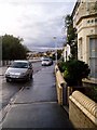

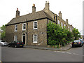
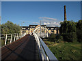


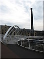
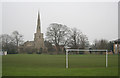
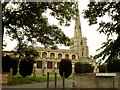

100 photos from this area
Area Information
Key information about the CB5 8HX including its size, population, and administrative classification.
- Area Type
- Postcode
- Area Size
- 8993 m²
- Population
- 2182
- Population Density
- 5166 people/km²
House Prices in CB5 8HX
50
Properties
£343,219
Average Sold Price
£85,000
Lowest Price
£700,000
Highest Price
Showing 50 properties
| Address | Type | Beds | Baths | Last Sale Price | Last Sale Date | |
|---|---|---|---|---|---|---|
| 59 Beche Road, Cambridge, CB5 8HX | Terraced | 3 | 1 | £644,000 | Aug 2025 | |
| 31 Beche Road, Cambridge, CB5 8HX | Terraced | 2 | 1 | £548,500 | Jul 2025 | |
| 9 Beche Road, Cambridge, CB5 8HX | Detached | 3 | 1 | £700,000 | Dec 2024 | |
| 45 Beche Road, Cambridge, CB5 8HX | Terraced | 3 | 1 | £475,000 | Aug 2024 | |
| 27 Beche Road, Cambridge, CB5 8HX | Semi-detached | 3 | 1 | £520,000 | May 2024 | |
| 69 Beche Road, Cambridge, CB5 8HX | Terraced | 2 | 1 | £524,000 | May 2024 | |
| 97 Beche Road, Cambridge, CB5 8HX | Terraced | 3 | 1 | £400,000 | Mar 2021 | |
| 57 Beche Road, Cambridge, CB5 8HX | Terraced | 3 | 1 | £515,000 | May 2020 | |
| 103 Beche Road, Cambridge, CB5 8HX | house | - | - | £450,000 | Jun 2019 | |
| 29 Beche Road, Cambridge, CB5 8HX | house | 2 | - | £400,000 | Jan 2016 |
Page 1 of 5
Energy Efficiency in CB5 8HX
Amenities
Schools
| Rank | School | Type | Entry gender | Ages |
|---|
Explore more schools in this area
Go to Schools tabDemographics
Household Size
One person
most common
Accommodation Type
Houses
most common
Tenure
44
majority
Ethnic Group
White
most common
Religion
N/A
most common
Household Composition
N/A
most common
Age
47
median
Adults (30-64 years)
most common
Household Deprivation
N/A
with no deprivation
NS-SEC
50
in Lower managerial occupations
Explore more demographic insights in this area
Go to Demographics tabPlanning
Planning Constraints
- Flood RiskPremium
- Ramsar Wetland SitesPremium
- Area of Outstanding Natural BeautyPremium
- Protected Nature ReservePremium
- Protected WoodlandPremium