Area Overview for CB25 0JD
Photos of CB25 0JD
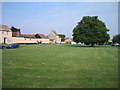
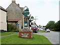

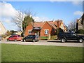
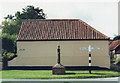
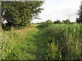
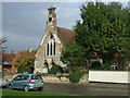
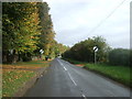
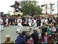
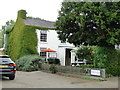
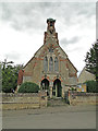
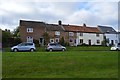
100 photos from this area
Area Information
Key information about the CB25 0JD including its size, population, and administrative classification.
- Area Type
- Postcode
- Area Size
- 4.3 hectares
- Population
- 2051
- Population Density
- 50 people/km²
House Prices in CB25 0JD
34
Properties
£385,312
Average Sold Price
£150,000
Lowest Price
£795,000
Highest Price
Showing 34 properties
| Address | Type | Beds | Baths | Last Sale Price | Last Sale Date | |
|---|---|---|---|---|---|---|
| The Barn, 9A Fair Green, Reach, CB25 0JD | Semi-detached | 3 | 2 | £425,000 | Jun 2025 | |
| Fair Green Cottage, 21 Fair Green, Reach, CB25 0JD | house | - | - | £465,000 | Jun 2022 | |
| Needholy, 22 Fair Green, Reach, CB25 0JD | Terraced | 3 | - | £465,000 | Apr 2022 | |
| Hill Farm, 28 Fair Green, Reach, CB25 0JD | Detached | - | - | £500,000 | Jan 2022 | |
| 2 Fair Green, Reach, CB25 0JD | house | - | - | £245,000 | Feb 2020 | |
| 23 Fair Green, Reach, CB25 0JD | Cottage | 3 | 1 | £375,000 | Sep 2019 | |
| Myster House, 19 Fair Green, Reach, CB25 0JD | Detached | 4 | 3 | £795,000 | May 2018 | |
| Dykes End House, 11 Fair Green, Reach, CB25 0JD | Detached | 5 | 2 | £400,000 | May 2016 | |
| Gallions, 33 Fair Green, Reach, CB25 0JD | Detached | 5 | 3 | £670,000 | Oct 2014 | |
| 14 Fair Green, Reach, CB25 0JD | Detached | 5 | 3 | £305,000 | Jul 2010 |
Page 1 of 4
Energy Efficiency in CB25 0JD
Amenities
Schools
| Rank | School | Type | Entry gender | Ages |
|---|
Explore more schools in this area
Go to Schools tabDemographics
Household Size
Two person
most common
Accommodation Type
Houses
most common
Tenure
68
majority
Ethnic Group
White
most common
Religion
N/A
most common
Household Composition
N/A
most common
Age
47
median
Adults (30-64 years)
most common
Household Deprivation
N/A
with no deprivation
NS-SEC
45
in Lower managerial occupations
Explore more demographic insights in this area
Go to Demographics tabPlanning
Planning Constraints
- Flood RiskPremium
- Ramsar Wetland SitesPremium
- Area of Outstanding Natural BeautyPremium
- Protected Nature ReservePremium
- Protected WoodlandPremium