Area Overview for CB25 0HZ
Photos of CB25 0HZ
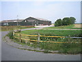
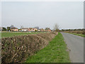
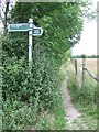
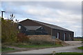
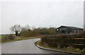
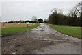
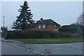
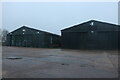
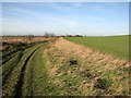
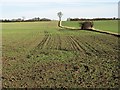
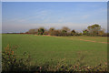
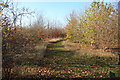
37 photos from this area
Area Information
Key information about the CB25 0HZ including its size, population, and administrative classification.
- Area Type
- Postcode
- Area Size
- 65.2 hectares
- Population
- 2051
- Population Density
- 50 people/km²
House Prices in CB25 0HZ
22
Properties
£324,125
Average Sold Price
£122,000
Lowest Price
£755,000
Highest Price
Showing 22 properties
| Address | Type | Beds | Baths | Last Sale Price | Last Sale Date | |
|---|---|---|---|---|---|---|
| 8 Swaffham Road, Reach, CB25 0HZ | Terraced | 2 | 1 | £365,000 | Oct 2025 | |
| Sea Rivers, 26 Swaffham Road, Reach, CB25 0HZ | Detached | 4 | 3 | £755,000 | Sep 2017 | |
| 40 Swaffham Road, Reach, CB25 0HZ | Detached | 3 | 1 | £335,000 | Jun 2016 | |
| 30 Swaffham Road, Reach, CB25 0HZ | house | 4 | 2 | £349,000 | Sep 2015 | |
| 36 Swaffham Road, Reach, CB25 0HZ | house | 3 | - | £142,000 | Aug 2008 | |
| 4 Swaffham Road, Reach, CB25 0HZ | Terraced | - | - | £335,000 | Nov 2007 | |
| Littlebury, 14 Swaffham Road, Reach, CB25 0HZ | Bungalow | - | - | £190,000 | Nov 2002 | |
| The White House, 2 Swaffham Road, Reach, CB25 0HZ | house | - | - | £122,000 | Aug 1995 | |
| 42 Swaffham Road, Reach, CB25 0HZ | house | - | - | - | - | |
| 6 Swaffham Road, Reach, CB25 0HZ | Terraced | - | - | - | - |
Page 1 of 3
Energy Efficiency in CB25 0HZ
Amenities
Schools
| Rank | School | Type | Entry gender | Ages |
|---|
Explore more schools in this area
Go to Schools tabDemographics
Household Size
Two person
most common
Accommodation Type
Houses
most common
Tenure
68
majority
Ethnic Group
White
most common
Religion
N/A
most common
Household Composition
N/A
most common
Age
47
median
Adults (30-64 years)
most common
Household Deprivation
N/A
with no deprivation
NS-SEC
45
in Lower managerial occupations
Explore more demographic insights in this area
Go to Demographics tabPlanning
Planning Constraints
- Flood RiskPremium
- Ramsar Wetland SitesPremium
- Area of Outstanding Natural BeautyPremium
- Protected Nature ReservePremium
- Protected WoodlandPremium