Area Overview for CB22 4NH
Photos of CB22 4NH
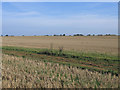
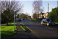
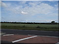
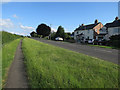
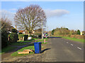
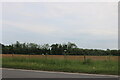
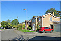
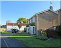
21 photos from this area
Area Information
Key information about the CB22 4NH including its size, population, and administrative classification.
- Area Type
- Postcode
- Area Size
- 7.6 hectares
- Population
- 1501
- Population Density
- 103 people/km²
House Prices in CB22 4NH
26
Properties
£357,031
Average Sold Price
£96,000
Lowest Price
£915,000
Highest Price
Showing 26 properties
| Address | Type | Beds | Baths | Last Sale Price | Last Sale Date | |
|---|---|---|---|---|---|---|
| 108 Duxford Road, Whittlesford, CB22 4NH | house | - | - | £915,000 | Jun 2021 | |
| 84 Duxford Road, Whittlesford, CB22 4NH | house | - | - | £400,000 | Jul 2020 | |
| 112 Duxford Road, Whittlesford, CB22 4NH | Bungalow | 3 | 2 | £525,000 | Oct 2019 | |
| 96 Duxford Road, Whittlesford, CB22 4NH | house | - | - | £500,000 | Feb 2019 | |
| 114 Duxford Road, Whittlesford, CB22 4NH | house | - | - | £450,000 | Nov 2016 | |
| 98 Duxford Road, Whittlesford, CB22 4NH | Semi-detached | 3 | - | £340,000 | Mar 2016 | |
| 120 Duxford Road, Whittlesford, CB22 4NH | house | - | - | £370,000 | Nov 2013 | |
| 122 Duxford Road, Whittlesford, CB22 4NH | Bungalow | 3 | - | £375,000 | Oct 2012 | |
| 102 Duxford Road, Whittlesford, CB22 4NH | Chalet | 3 | 1 | £410,000 | Jun 2012 | |
| 86 Duxford Road, Whittlesford, CB22 4NH | house | 5 | - | £350,000 | Jul 2011 |
Page 1 of 3
Energy Efficiency in CB22 4NH
Amenities
Schools
| Rank | School | Type | Entry gender | Ages |
|---|
Explore more schools in this area
Go to Schools tabDemographics
Household Size
Family (3-5 people)
most common
Accommodation Type
Houses
most common
Tenure
76
majority
Ethnic Group
White
most common
Religion
N/A
most common
Household Composition
N/A
most common
Age
47
median
Adults (30-64 years)
most common
Household Deprivation
N/A
with no deprivation
NS-SEC
49
in Lower managerial occupations
Explore more demographic insights in this area
Go to Demographics tabPlanning
Planning Constraints
- Flood RiskPremium
- Ramsar Wetland SitesPremium
- Area of Outstanding Natural BeautyPremium
- Protected Nature ReservePremium
- Protected WoodlandPremium