Area Overview for CB22 4NW
Photos of CB22 4NW
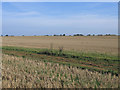
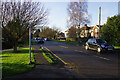
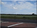
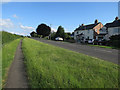
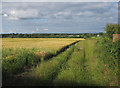
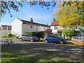
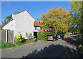
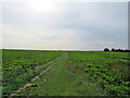
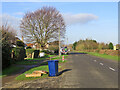
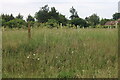
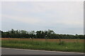
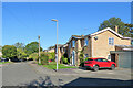
21 photos from this area
Area Information
Key information about the CB22 4NW including its size, population, and administrative classification.
- Area Type
- Postcode
- Area Size
- 60.0 hectares
- Population
- 1501
- Population Density
- 103 people/km²
House Prices in CB22 4NW
44
Properties
£456,031
Average Sold Price
£120,000
Lowest Price
£970,000
Highest Price
Showing 44 properties
| Address | Type | Beds | Baths | Last Sale Price | Last Sale Date | |
|---|---|---|---|---|---|---|
| 21 Royston Road, Whittlesford, CB22 4NW | Semi-detached | 3 | 1 | £468,000 | Feb 2025 | |
| 26 Royston Road, Whittlesford, CB22 4NW | Detached | 4 | 3 | £840,000 | Nov 2024 | |
| 34 Royston Road, Whittlesford, CB22 4NW | Detached | 6 | 4 | £815,000 | Aug 2024 | |
| 18A Royston Road, Whittlesford, CB22 4NW | Detached | 4 | 3 | £585,000 | Feb 2021 | |
| 14 Royston Road, Whittlesford, CB22 4NW | house | - | - | £490,000 | Nov 2020 | |
| 10 Royston Road, Whittlesford, CB22 4NW | house | - | - | £488,250 | Feb 2018 | |
| 18 Royston Road, Whittlesford, CB22 4NW | Bungalow | 4 | 3 | £440,000 | Oct 2017 | |
| 24 Royston Road, Whittlesford, CB22 4NW | Detached | 3 | 1 | £495,000 | May 2017 | |
| Fortholme, 2 Royston Road, Whittlesford, CB22 4NW | house | - | - | £970,000 | Apr 2017 | |
| 8 Royston Road, Whittlesford, CB22 4NW | Semi-detached | 4 | - | £557,500 | Sep 2015 |
Page 1 of 5
Energy Efficiency in CB22 4NW
Amenities
Schools
| Rank | School | Type | Entry gender | Ages |
|---|
Explore more schools in this area
Go to Schools tabDemographics
Household Size
Family (3-5 people)
most common
Accommodation Type
Houses
most common
Tenure
76
majority
Ethnic Group
White
most common
Religion
N/A
most common
Household Composition
N/A
most common
Age
47
median
Adults (30-64 years)
most common
Household Deprivation
N/A
with no deprivation
NS-SEC
49
in Lower managerial occupations
Explore more demographic insights in this area
Go to Demographics tabPlanning
Planning Constraints
- Flood RiskPremium
- Ramsar Wetland SitesPremium
- Area of Outstanding Natural BeautyPremium
- Protected Nature ReservePremium
- Protected WoodlandPremium