Area Overview for CB22 4LT
Photos of CB22 4LT
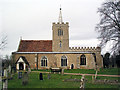
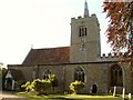
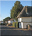
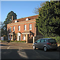
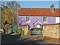
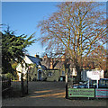
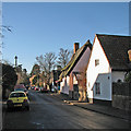
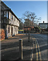
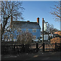
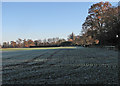
100 photos from this area
Area Information
Key information about the CB22 4LT including its size, population, and administrative classification.
- Area Type
- Postcode
- Area Size
- 5.5 hectares
- Population
- 1237
- Population Density
- 396 people/km²
House Prices in CB22 4LT
32
Properties
£513,400
Average Sold Price
£125,000
Lowest Price
£1,400,000
Highest Price
Showing 32 properties
| Address | Type | Beds | Baths | Last Sale Price | Last Sale Date | |
|---|---|---|---|---|---|---|
| 4A High Street, Whittlesford, CB22 4LT | Cottage | 2 | 2 | £490,000 | Jul 2023 | |
| 9 High Street, Whittlesford, CB22 4LT | Retail | 5 | 3 | £960,000 | Oct 2022 | |
| 43 High Street, Whittlesford, CB22 4LT | Retail | 3 | 1 | £480,000 | Mar 2022 | |
| 4C High Street, Whittlesford, CB22 4LT | Cottage | 2 | 1 | £300,500 | Sep 2021 | |
| 3A High Street, Whittlesford, CB22 4LT | house | - | - | £837,306 | Jun 2019 | |
| 7 High Street, Whittlesford, CB22 4LT | house | - | - | £1,400,000 | Dec 2017 | |
| 27 High Street, Whittlesford, CB22 4LT | Detached | 4 | 2 | £1,200,000 | Aug 2017 | |
| 18 High Street, Whittlesford, CB22 4LT | house | - | - | £241,200 | Oct 2015 | |
| 31 High Street, Whittlesford, CB22 4LT | Semi-detached | 4 | - | £620,000 | Oct 2014 | |
| 2 High Street, Whittlesford, CB22 4LT | Detached | 3 | 2 | £605,000 | May 2014 |
Page 1 of 4
Energy Efficiency in CB22 4LT
Amenities
Schools
| Rank | School | Type | Entry gender | Ages |
|---|
Explore more schools in this area
Go to Schools tabDemographics
Household Size
Two person
most common
Accommodation Type
Houses
most common
Tenure
73
majority
Ethnic Group
White
most common
Religion
N/A
most common
Household Composition
N/A
most common
Age
47
median
Adults (30-64 years)
most common
Household Deprivation
N/A
with no deprivation
NS-SEC
54
in Lower managerial occupations
Explore more demographic insights in this area
Go to Demographics tabPlanning
Planning Constraints
- Flood RiskPremium
- Ramsar Wetland SitesPremium
- Area of Outstanding Natural BeautyPremium
- Protected Nature ReservePremium
- Protected WoodlandPremium