Area Overview for CB10 2RR
Photos of CB10 2RR
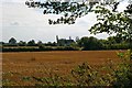
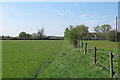
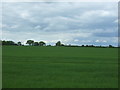
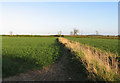
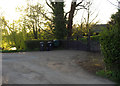
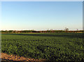
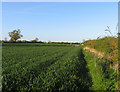
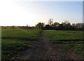
20 photos from this area
Area Information
Key information about the CB10 2RR including its size, population, and administrative classification.
- Area Type
- Postcode
- Area Size
- 86.2 hectares
- Population
- 1939
- Population Density
- 39 people/km²
House Prices in CB10 2RR
13
Properties
£487,812
Average Sold Price
£320,000
Lowest Price
£765,000
Highest Price
Showing 13 properties
| Address | Type | Beds | Baths | Last Sale Price | Last Sale Date | |
|---|---|---|---|---|---|---|
| Birdbrook Cottage, Parsonage Farm Lane, Great Sampford, CB10 2RR | house | 2 | 2 | £525,000 | Aug 2025 | |
| Maple Barn, Parsonage Farm Lane, Great Sampford, CB10 2RR | Semi-detached | 2 | 1 | £415,000 | Jan 2018 | |
| Beech House, Parsonage Farm Lane, Great Sampford, CB10 2RR | house | 4 | 3 | £765,000 | Dec 2016 | |
| Great Hall Barn, Parsonage Farm Lane, Great Sampford, CB10 2RR | Semi-detached | 4 | 2 | £670,000 | Nov 2015 | |
| Ivy Rose Cottage, Parsonage Farm Lane, Great Sampford, CB10 2RR | Detached | - | - | £390,000 | Feb 2014 | |
| Cedar Lodge, Parsonage Farm Lane, Great Sampford, CB10 2RR | Detached | 2 | - | £320,000 | Jan 2014 | |
| Green Bank, Parsonage Farm Lane, Great Sampford, CB10 2RR | Detached | - | - | £357,500 | Aug 2006 | |
| Oak Barn, Parsonage Farm Lane, Great Sampford, CB10 2RR | house | - | - | £459,995 | Mar 2006 | |
| Parsonage Farm, Parsonage Farm Lane, Great Sampford, CB10 2RR | Detached | 4 | - | - | - | |
| Floriana, Parsonage Farm Lane, Great Sampford, CB10 2RR | undefined | - | - | - | - |
Page 1 of 2
Energy Efficiency in CB10 2RR
Amenities
Schools
| Rank | School | Type | Entry gender | Ages |
|---|
Explore more schools in this area
Go to Schools tabDemographics
Household Size
Two person
most common
Accommodation Type
Houses
most common
Tenure
79
majority
Ethnic Group
White
most common
Religion
N/A
most common
Household Composition
N/A
most common
Age
47
median
Adults (30-64 years)
most common
Household Deprivation
N/A
with no deprivation
NS-SEC
45
in Lower managerial occupations
Explore more demographic insights in this area
Go to Demographics tabPlanning
Planning Constraints
- Flood RiskPremium
- Ramsar Wetland SitesPremium
- Area of Outstanding Natural BeautyPremium
- Protected Nature ReservePremium
- Protected WoodlandPremium