Area Overview for Bretton
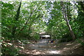
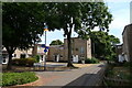
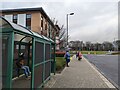
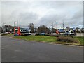
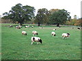
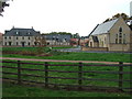
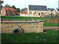
Photos of Bretton

Area Information
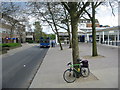
Bretton is a distinct district within Southenet with a population of 1,573 residents spread across 4.1 square kilometres. Living in Bretton offers a manageable scale, resulting in a population density of 380 people per square kilometre. The location maintains a clear identity separate from the surrounding borough unitary ward structures. Daily life here is defined by a steady rhythm rather than rapid change. The area functions as a cohesive community where proximity to local services is high. You will find that the geographical boundaries create a focused environment for residents. This compact footprint allows for efficient movement between home and essential amenities. The specific character of Bretton remains intact despite its integration into the wider administrative area. Your experience of the neighbourhood will be shaped by these precise physical constraints. The area successfully balances residential tranquility with access to necessary infrastructure. Every square metre of this district serves a purpose for the households that call it home.
- Area Type
- Parish
- Area Size
- 4.1 km²
- Population
- 1573
- Population Density
- 380 people/km²
Demographics
The community profile of Bretton reflects a mature demographic with a median age of 70 years. The area predominantly attracts older residents, shaping everything from local business choices to social activities. Nearly half of all households, specifically 49%, consist of homeowners who reside in the area long-term. This high level of tenure suggests a stable community with deep local ties. Accommodation types across Bretton cater primarily to the needs of older residents, including bungalows and flats. You do not see a high concentration of families with young children in the general statistics. The household composition data indicates a group of people who have likely reached retirement age. Ethnic diversity figures are not specified in the available breakdowns, but the age skew is the defining feature. Religion and predominant ethnic groups lack specific data points but do not dominate the narrative of daily life. You can expect a quiet, established neighbourhood where long-term residents form the core of society.
Household Size
Accommodation Type
Tenure
Ethnic Group
Religion
Household Composition
Age
Household Deprivation
NS-SEC
Explore more demographic insights in this area
Go to Demographics tabPlanning
Planning Constraints
- Flood RiskPremium
- Ramsar Wetland SitesPremium
- Area of Outstanding Natural BeautyPremium
- Protected Nature ReservePremium
- Protected WoodlandPremium