Area Overview for Breckland District
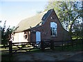
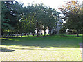
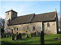
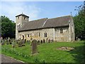
Photos of Breckland District
Area Information
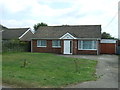
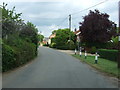
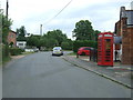
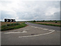
Breckland District functions as a local authority district covering a vast geographical expanse of 1304.9 square kilometres across England. Living in Breckland District means navigating a large unitary area where daily life is shaped by significant distances and a quiet, expansive landscape. The sheer scale of the district offers isolation from congested urban centres, providing residents with a sense of space that is distinct from typical metropolitan living. You will find that homes in Breckland District are spread across this wide terrain, resulting in a lifestyle where local amenities often require a car rather than a walk. The character of the area is defined by its administrative status as a unitary authority, which allows for direct governance over local services without a layered district council structure. This setup influences how infrastructure and community projects are managed across the entire 1304.9 km² footprint. For those considering moving here, the layout implies a reliance on private transport for commuting and accessing leisure activities. While the environment provides open skies and rural tranquillity, the distance between settlements means that convenience is not an immediate feature of daily life in Breckland District. The area stands as one of the larger local authority districts in the region, offering a specific type of sprawling domestic experience suited to those who value space over proximity.
- Area Type
- District/Borough
- Area Size
- 1304.9 km²
- Population
- Not available
- Population Density
- Not available
Demographics
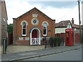
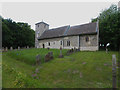
The community within Breckland District is characterised by a notably older population compared to the national average. The median age stands at 70 years, indicating a strong presence of retirees and established families rather than young professionals or students. This demographic profile influences the culture and pace of life within the district boundaries. With a median age of 70, the social environment caters largely to the needs and interests of older adults, from community groups to leisure facilities. Home ownership rates in Breckland District are high, with 68 per cent of residents owning their property outright or with a mortgage. This figure suggests a stable, settled community where long-term residency is common. The high level of ownership contrasts with areas dominated by student rentals or high-turnover temporary housing. You are more likely to meet neighbours who have lived in their homes for decades, contributing to a slower, more established community rhythm. While specific details on household composition types are recorded as total data points, the overarching trend points toward traditional family units and retired couples. Living in Breckland District, you join a cohort that prioritises stability and ownership, creating a distinct social fabric compared to younger, more transient cities. The age profile reflects a region that has largely transitioned away from having a youthful workforce, focusing instead on the service needs of an ageing population.
Household Size
Accommodation Type
Tenure
Ethnic Group
Religion
Household Composition
Age
Household Deprivation
NS-SEC
Explore more demographic insights in this area
Go to Demographics tabPlanning
Planning Constraints
- Flood RiskPremium
- Area of Outstanding Natural BeautyPremium
- Protected Nature ReservePremium
- Protected WoodlandPremium