Area Overview for Eaton Bray and Edlesborough
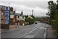
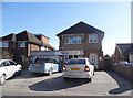
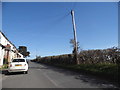
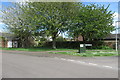
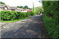
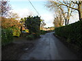
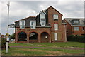
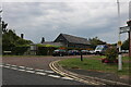
Photos of Eaton Bray and Edlesborough


Area Information
Eaton Bray and Edlesborough is a compact built-up area spanning 1.6 km², nestled in Bedfordshire. The community is characterised by a mature demographic, with a median age of 70, reflecting a population that values stability and established living. Home ownership is high at 81%, suggesting a strong presence of long-term residents. The area benefits from proximity to key amenities, including several schools, retail outlets, and railway stations. Daily life here is shaped by a blend of local services and easy access to nearby towns. Residents can enjoy a mix of primary schools and academies, with the latter rated as good by Ofsted. The area’s safety score of 84 indicates a low crime risk, making it appealing for those prioritising security. While the population density is modest, the presence of multiple retail hubs and transport links ensures practicality for both daily errands and commuting. For buyers seeking a quiet, well-connected neighbourhood with a focus on safety and established infrastructure, Eaton Bray and Edlesborough offers a compelling proposition.
- Area Type
- Built Up Area 250
- Area Size
- 1.6 km²
- Population
- Not available
- Population Density
- Not available
Eaton Bray and Edlesborough provide a range of amenities within practical reach. Retail options include Co-op Dunstable, Tesco Dunstable High, and other nearby stores, ensuring convenience for daily shopping. The area’s railway stations connect residents to larger towns, enhancing access to broader leisure and employment opportunities. While the data does not specify parks or recreational facilities, the presence of multiple retail outlets and transport links suggests a lifestyle focused on practicality and ease of access. The mix of local shops and rail connections supports a balanced daily routine, allowing residents to manage errands and travel efficiently. The character of the area is defined by its accessibility and the availability of essential services, making it suitable for those who value convenience without sacrificing proximity to larger centres.
Amenities
Schools
Eaton Bray and Edlesborough offer a range of educational options for families. Primary schools include Eaton Bray Lower School and Edlesborough School, both serving younger children. For secondary education, Eaton Bray Academy and Edlesborough Primary Academy are available, with the latter rated as good by Ofsted. The presence of both primary and academy schools ensures a comprehensive educational landscape, though the data does not specify catchment areas or pupil numbers. Families seeking a mix of traditional primary education and academies with positive ratings may find this area suitable. The good Ofsted rating at Edlesborough Primary Academy suggests a focus on quality teaching, which could be a key consideration for parents prioritising school standards. The proximity of these schools to residential areas makes them accessible for daily commuting, supporting a family-friendly environment.
| Rank | School | Type | Entry gender | Ages |
|---|
Explore more schools in this area
Go to Schools tabDemographics
The population of Eaton Bray and Edlesborough skews significantly towards older age groups, with a median age of 70. This suggests a community where many residents are retired or have long-standing ties to the area. Home ownership is high at 81%, indicating a stable housing market with a focus on long-term residency rather than rental turnover. The data does not specify household composition or accommodation types, but the overall profile points to a mature, settled population. The area’s demographic makeup is not detailed in terms of ethnic diversity or religious composition, but the high home ownership rate and median age imply a community prioritising comfort and continuity over rapid change. For prospective buyers, this demographic profile may translate to a quiet, low-maintenance lifestyle with minimal turnover in local services and amenities.