Area Overview for AL3 4NQ
Photos of AL3 4NQ
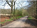
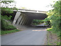
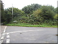
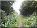
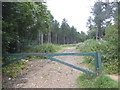
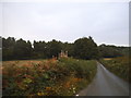
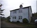
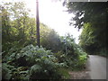
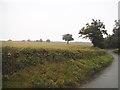
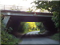
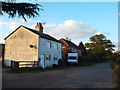
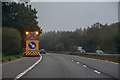
25 photos from this area
Area Information
Key information about the AL3 4NQ including its size, population, and administrative classification.
- Area Type
- Postcode
- Area Size
- 21.4 hectares
- Population
- 1565
- Population Density
- 1166 people/km²
House Prices in AL3 4NQ
17
Properties
£559,995
Average Sold Price
£153,000
Lowest Price
£925,000
Highest Price
Showing 17 properties
| Address | Type | Beds | Baths | Last Sale Price | Last Sale Date | |
|---|---|---|---|---|---|---|
| 16 Icknield Close, St Albans, AL3 4NQ | Detached | 4 | 1 | £850,000 | Jan 2025 | |
| 3 Icknield Close, St Albans, AL3 4NQ | Detached | 4 | 2 | £925,000 | May 2024 | |
| 11 Icknield Close, St Albans, AL3 4NQ | house | - | - | £815,000 | Oct 2021 | |
| 10 Icknield Close, St Albans, AL3 4NQ | Detached | 4 | - | £660,000 | Sep 2017 | |
| 15 Icknield Close, St Albans, AL3 4NQ | house | 4 | - | £477,000 | Dec 2013 | |
| 12 Icknield Close, St Albans, AL3 4NQ | house | 4 | - | £520,000 | Nov 2013 | |
| 5 Icknield Close, St Albans, AL3 4NQ | house | 4 | - | £520,000 | Oct 2010 | |
| 8 Icknield Close, St Albans, AL3 4NQ | house | - | - | £560,000 | Jan 2010 | |
| 9 Icknield Close, St Albans, AL3 4NQ | Detached | 4 | 2 | £399,950 | Mar 2006 | |
| 7 Icknield Close, St Albans, AL3 4NQ | Detached | - | - | £280,000 | Sep 1999 |
Page 1 of 2
Energy Efficiency in AL3 4NQ
Amenities
Schools
| Rank | School | Type | Entry gender | Ages |
|---|
Explore more schools in this area
Go to Schools tabDemographics
Household Size
Family (3-5 people)
most common
Accommodation Type
Houses
most common
Tenure
93
majority
Ethnic Group
White
most common
Religion
N/A
most common
Household Composition
N/A
most common
Age
47
median
Adults (30-64 years)
most common
Household Deprivation
N/A
with no deprivation
NS-SEC
59
in Lower managerial occupations
Explore more demographic insights in this area
Go to Demographics tabPlanning
Planning Constraints
- Flood RiskPremium
- Ramsar Wetland SitesPremium
- Area of Outstanding Natural BeautyPremium
- Protected Nature ReservePremium
- Protected WoodlandPremium