Area Overview for AL3 4JW
Photos of AL3 4JW
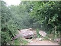
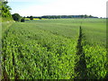
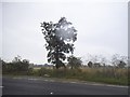
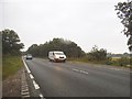
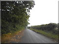
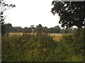
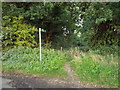
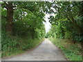
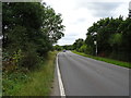
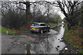
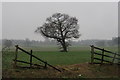
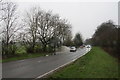
21 photos from this area
Area Information
Key information about the AL3 4JW including its size, population, and administrative classification.
- Area Type
- Postcode
- Area Size
- 8415 m²
- Population
- Not available
- Population Density
- Not available
House Prices in AL3 4JW
15
Properties
£463,111
Average Sold Price
£298,000
Lowest Price
£730,000
Highest Price
Showing 15 properties
| Address | Type | Beds | Baths | Last Sale Price | Last Sale Date | |
|---|---|---|---|---|---|---|
| 2 Samian Gate, St Albans, AL3 4JW | house | - | - | £730,000 | Mar 2020 | |
| 10 Samian Gate, St Albans, AL3 4JW | Detached | 4 | 1 | £583,000 | Jan 2020 | |
| 8 Samian Gate, St Albans, AL3 4JW | Detached | 4 | 1 | £599,000 | Sep 2017 | |
| 1 Samian Gate, St Albans, AL3 4JW | Detached | - | - | £450,000 | Feb 2008 | |
| 4 Samian Gate, St Albans, AL3 4JW | Land | - | - | £383,000 | Aug 2006 | |
| 15 Samian Gate, St Albans, AL3 4JW | Detached | - | - | £410,000 | Jul 2006 | |
| 9 Samian Gate, St Albans, AL3 4JW | Semi-detached | 3 | - | £330,000 | Sep 2005 | |
| 3 Samian Gate, St Albans, AL3 4JW | Detached | - | - | £385,000 | Dec 2004 | |
| 6 Samian Gate, St Albans, AL3 4JW | Detached | - | - | £298,000 | May 2004 | |
| 16 Samian Gate, St Albans, AL3 4JW | Detached | 4 | 1 | - | - |
Page 1 of 2
Energy Efficiency in AL3 4JW
Amenities
Schools
| Rank | School | Type | Entry gender | Ages |
|---|
Explore more schools in this area
Go to Schools tabDemographics
Household Size
Family (3-5 people)
most common
Accommodation Type
Houses
most common
Tenure
91
majority
Ethnic Group
White
most common
Religion
N/A
most common
Household Composition
N/A
most common
Age
47
median
Adults (30-64 years)
most common
Household Deprivation
N/A
with no deprivation
NS-SEC
58
in Lower managerial occupations
Explore more demographic insights in this area
Go to Demographics tabPlanning
Planning Constraints
- Flood RiskPremium
- Ramsar Wetland SitesPremium
- Area of Outstanding Natural BeautyPremium
- Protected Nature ReservePremium
- Protected WoodlandPremium