Area Overview for AL3 4AH
Photos of AL3 4AH
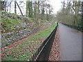
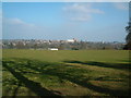
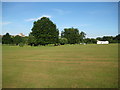
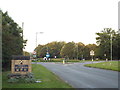
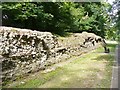
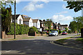
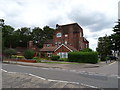
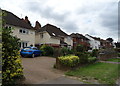
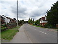
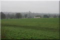
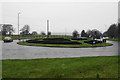
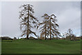
73 photos from this area
Area Information
Key information about the AL3 4AH including its size, population, and administrative classification.
- Area Type
- Postcode
- Area Size
- 11.1 hectares
- Population
- Not available
- Population Density
- Not available
House Prices in AL3 4AH
13
Properties
£662,905
Average Sold Price
£295,000
Lowest Price
£1,260,000
Highest Price
Showing 13 properties
| Address | Type | Beds | Baths | Last Sale Price | Last Sale Date | |
|---|---|---|---|---|---|---|
| 12 Parkland Drive, St Albans, AL3 4AH | house | - | - | £1,260,000 | Oct 2021 | |
| 6 Parkland Drive, St Albans, AL3 4AH | Detached | 5 | 2 | £983,000 | Aug 2020 | |
| 9 Parkland Drive, St Albans, AL3 4AH | house | 5 | - | £975,000 | Oct 2012 | |
| 5 Parkland Drive, St Albans, AL3 4AH | Detached | 4 | - | £660,000 | Jul 2007 | |
| 7 Parkland Drive, St Albans, AL3 4AH | Detached | - | - | £480,300 | Feb 2004 | |
| 1 Parkland Drive, St Albans, AL3 4AH | house | - | - | £670,750 | Nov 2002 | |
| 4 Parkland Drive, St Albans, AL3 4AH | Detached | - | - | £435,000 | Jul 2002 | |
| 8 Parkland Drive, St Albans, AL3 4AH | Detached | - | - | £530,000 | Jun 2001 | |
| 11 Parkland Drive, St Albans, AL3 4AH | house | - | - | £340,000 | Aug 1999 | |
| 2 Parkland Drive, St Albans, AL3 4AH | Detached | - | - | £295,000 | Jun 1998 |
Page 1 of 2
Energy Efficiency in AL3 4AH
Amenities
Schools
| Rank | School | Type | Entry gender | Ages |
|---|
Explore more schools in this area
Go to Schools tabDemographics
Household Size
Family (3-5 people)
most common
Accommodation Type
Houses
most common
Tenure
91
majority
Ethnic Group
White
most common
Religion
N/A
most common
Household Composition
N/A
most common
Age
47
median
Adults (30-64 years)
most common
Household Deprivation
N/A
with no deprivation
NS-SEC
58
in Lower managerial occupations
Explore more demographic insights in this area
Go to Demographics tabPlanning
Planning Constraints
- Flood RiskPremium
- Ramsar Wetland SitesPremium
- Area of Outstanding Natural BeautyPremium
- Protected Nature ReservePremium
- Protected WoodlandPremium