Area Overview for S44 6PB
Photos of S44 6PB
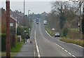
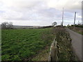
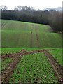
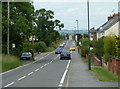
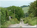
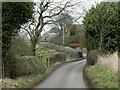
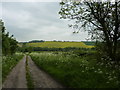
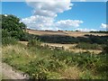
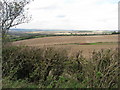
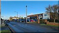
10 photos from this area
Area Information
Key information about the S44 6PB including its size, population, and administrative classification.
- Area Type
- Postcode
- Area Size
- 8.9 hectares
- Population
- 2252
- Population Density
- 253 people/km²
House Prices in S44 6PB
43
Properties
£154,304
Average Sold Price
£30,000
Lowest Price
£292,500
Highest Price
Showing 43 properties
| Address | Type | Beds | Baths | Last Sale Price | Last Sale Date | |
|---|---|---|---|---|---|---|
| 317 Shuttlewood Road, Bolsover, S44 6PB | house | - | - | £260,000 | Mar 2022 | |
| 257 Shuttlewood Road, Bolsover, S44 6PB | house | - | - | £159,950 | Jul 2021 | |
| 273 Shuttlewood Road, Bolsover, S44 6PB | Semi-detached | 3 | 1 | £147,500 | Feb 2018 | |
| 323 Shuttlewood Road, Bolsover, S44 6PB | Bungalow | 3 | 1 | £292,500 | Oct 2016 | |
| 321 Shuttlewood Road, Bolsover, S44 6PB | Bungalow | 2 | 1 | £190,000 | Jun 2016 | |
| 275 Shuttlewood Road, Bolsover, S44 6PB | Semi-detached | 3 | 1 | £100,000 | Jan 2014 | |
| 261 Shuttlewood Road, Bolsover, S44 6PB | house | - | - | £115,000 | Dec 2009 | |
| 271 Shuttlewood Road, Bolsover, S44 6PB | Semi-detached | - | - | £120,000 | Mar 2007 | |
| 277 Shuttlewood Road, Bolsover, S44 6PB | Detached | 4 | 2 | £187,000 | Sep 2005 | |
| 297 Shuttlewood Road, Bolsover, S44 6PB | Bungalow | - | - | £179,000 | Sep 2004 |
Page 1 of 5
Energy Efficiency in S44 6PB
Amenities
Schools
| Rank | School | Type | Entry gender | Ages |
|---|
Explore more schools in this area
Go to Schools tabDemographics
Household Size
Two person
most common
Accommodation Type
Houses
most common
Tenure
72
majority
Ethnic Group
White
most common
Religion
N/A
most common
Household Composition
N/A
most common
Age
47
median
Adults (30-64 years)
most common
Household Deprivation
N/A
with no deprivation
NS-SEC
28
in Lower managerial occupations
Explore more demographic insights in this area
Go to Demographics tabPlanning
Planning Constraints
- Flood RiskPremium
- Ramsar Wetland SitesPremium
- Area of Outstanding Natural BeautyPremium
- Protected Nature ReservePremium
- Protected WoodlandPremium