Area Overview for S44 6AU
Photos of S44 6AU
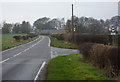
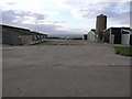
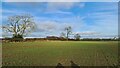
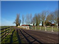
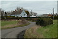
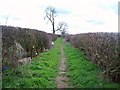
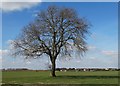
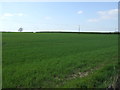
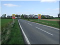
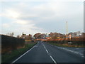
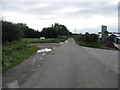
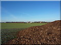
12 photos from this area
Area Information
Key information about the S44 6AU including its size, population, and administrative classification.
- Area Type
- Postcode
- Area Size
- 1.5 km²
- Population
- 2252
- Population Density
- 253 people/km²
House Prices in S44 6AU
29
Properties
£277,370
Average Sold Price
£54,950
Lowest Price
£735,000
Highest Price
Showing 29 properties
| Address | Type | Beds | Baths | Last Sale Price | Last Sale Date | |
|---|---|---|---|---|---|---|
| 33 Oxcroft Lane, Stanfree, S44 6AU | Detached | 4 | 2 | £380,000 | Sep 2025 | |
| 38 Oxcroft Lane, Stanfree, S44 6AU | Semi-detached | - | - | £210,000 | Dec 2022 | |
| 30 Oxcroft Lane, Stanfree, S44 6AU | Retail | 6 | 5 | £735,000 | Sep 2022 | |
| 38A Oxcroft Lane, Stanfree, S44 6AU | Bungalow | 3 | - | £362,500 | Nov 2017 | |
| 31 Oxcroft Lane, Stanfree, S44 6AU | house | 3 | - | £385,000 | Jun 2016 | |
| 21 Oxcroft Lane, Stanfree, S44 6AU | Semi-detached | - | - | £195,000 | May 2006 | |
| The Beeches, 40A Oxcroft Lane, Stanfree, S44 6AU | Semi-detached | 3 | - | £300,000 | Jun 2005 | |
| 18 Oxcroft Lane, Stanfree, S44 6AU | Semi-detached | - | - | £54,950 | Jun 1999 | |
| 19 Oxcroft Lane, Stanfree, S44 6AU | Semi-detached | - | - | £81,250 | Jan 1998 | |
| 17 Oxcroft Lane, Stanfree, S44 6AU | Semi-detached | - | - | £70,000 | Jul 1995 |
Page 1 of 3
Energy Efficiency in S44 6AU
Amenities
Schools
| Rank | School | Type | Entry gender | Ages |
|---|
Explore more schools in this area
Go to Schools tabDemographics
Household Size
Two person
most common
Accommodation Type
Houses
most common
Tenure
72
majority
Ethnic Group
White
most common
Religion
N/A
most common
Household Composition
N/A
most common
Age
47
median
Adults (30-64 years)
most common
Household Deprivation
N/A
with no deprivation
NS-SEC
28
in Lower managerial occupations
Explore more demographic insights in this area
Go to Demographics tabPlanning
Planning Constraints
- Flood RiskPremium
- Ramsar Wetland SitesPremium
- Area of Outstanding Natural BeautyPremium
- Protected Nature ReservePremium
- Protected WoodlandPremium