Area Overview for S44 6PA
Photos of S44 6PA
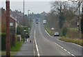
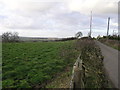
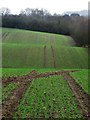
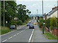
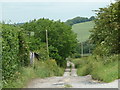
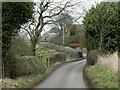
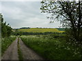
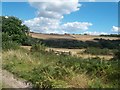
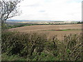
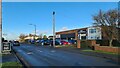
10 photos from this area
Area Information
Key information about the S44 6PA including its size, population, and administrative classification.
- Area Type
- Postcode
- Area Size
- 29.2 hectares
- Population
- 2252
- Population Density
- 253 people/km²
House Prices in S44 6PA
49
Properties
£177,880
Average Sold Price
£12,500
Lowest Price
£385,000
Highest Price
Showing 49 properties
| Address | Type | Beds | Baths | Last Sale Price | Last Sale Date | |
|---|---|---|---|---|---|---|
| 219 Shuttlewood Road, Bolsover, S44 6PA | Terraced | 3 | 2 | £175,000 | Jul 2024 | |
| 231 Shuttlewood Road, Bolsover, S44 6PA | Semi-detached | 3 | 1 | £244,000 | Aug 2022 | |
| 187 Shuttlewood Road, Bolsover, S44 6PA | house | - | - | £152,500 | Oct 2021 | |
| 239 Shuttlewood Road, Bolsover, S44 6PA | house | - | - | £360,000 | Sep 2021 | |
| 207 Shuttlewood Road, Bolsover, S44 6PA | house | - | - | £385,000 | Jun 2021 | |
| 193A Shuttlewood Road, Bolsover, S44 6PA | Bungalow | - | - | £230,000 | May 2021 | |
| 205 Shuttlewood Road, Bolsover, S44 6PA | house | - | - | £200,000 | Dec 2020 | |
| 193 Shuttlewood Road, Bolsover, S44 6PA | Bungalow | 5 | 2 | £350,000 | Sep 2020 | |
| 237 Shuttlewood Road, Bolsover, S44 6PA | Detached | 4 | 2 | £270,000 | May 2018 | |
| 176 Shuttlewood Road, Bolsover, S44 6PA | Cottage | 2 | 1 | £226,000 | Dec 2016 |
Page 1 of 5
Energy Efficiency in S44 6PA
Amenities
Schools
| Rank | School | Type | Entry gender | Ages |
|---|
Explore more schools in this area
Go to Schools tabDemographics
Household Size
Two person
most common
Accommodation Type
Houses
most common
Tenure
72
majority
Ethnic Group
White
most common
Religion
N/A
most common
Household Composition
N/A
most common
Age
47
median
Adults (30-64 years)
most common
Household Deprivation
N/A
with no deprivation
NS-SEC
28
in Lower managerial occupations
Explore more demographic insights in this area
Go to Demographics tabPlanning
Planning Constraints
- Flood RiskPremium
- Ramsar Wetland SitesPremium
- Area of Outstanding Natural BeautyPremium
- Protected Nature ReservePremium
- Protected WoodlandPremium