Area Overview for NN6 7SR
Photos of NN6 7SR
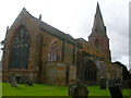
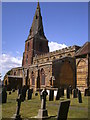
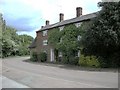
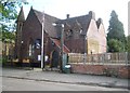
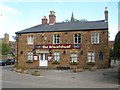
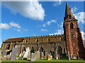
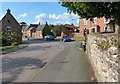
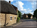
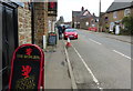
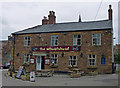
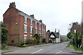
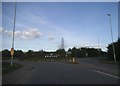
70 photos from this area
Area Information
Key information about the NN6 7SR including its size, population, and administrative classification.
- Area Type
- Postcode
- Area Size
- 1.4 hectares
- Population
- 2533
- Population Density
- 115 people/km²
House Prices in NN6 7SR
12
Properties
£553,438
Average Sold Price
£245,000
Lowest Price
£920,000
Highest Price
Showing 12 properties
| Address | Type | Beds | Baths | Last Sale Price | Last Sale Date | |
|---|---|---|---|---|---|---|
| 6 Drayson Lane, Crick, NN6 7SR | Detached | 5 | 5 | £920,000 | Nov 2025 | |
| Wychwood, 9 Drayson Lane, Crick, NN6 7SR | Detached | 3 | 2 | £487,500 | Sep 2023 | |
| Pytchley Cottage, 5 Drayson Lane, Crick, NN6 7SR | Cottage | 2 | 1 | £310,000 | Jan 2020 | |
| Westwood House, 14 Drayson Lane, Crick, NN6 7SR | Detached | 6 | 5 | £800,000 | Jul 2018 | |
| 6A Drayson Lane, Crick, NN6 7SR | house | - | - | £790,000 | Mar 2018 | |
| Stonelea, 3 Drayson Lane, Crick, NN6 7SR | house | - | - | £250,000 | Dec 2012 | |
| Cedar Farm House, 12 Drayson Lane, Crick, NN6 7SR | Detached | - | - | £625,000 | Feb 2005 | |
| Greenhill Farmhouse, 7 Drayson Lane, Crick, NN6 7SR | Detached | - | - | £245,000 | Apr 2001 | |
| Ilex Lodge, 1 Drayson Lane, Crick, NN6 7SR | Detached | - | - | - | - | |
| 10 Drayson Lane, Crick, NN6 7SR | house | - | - | - | - |
Page 1 of 2
Energy Efficiency in NN6 7SR
Amenities
Schools
| Rank | School | Type | Entry gender | Ages |
|---|
Explore more schools in this area
Go to Schools tabDemographics
Household Size
Family (3-5 people)
most common
Accommodation Type
Houses
most common
Tenure
78
majority
Ethnic Group
White
most common
Religion
N/A
most common
Household Composition
N/A
most common
Age
47
median
Adults (30-64 years)
most common
Household Deprivation
N/A
with no deprivation
NS-SEC
45
in Lower managerial occupations
Explore more demographic insights in this area
Go to Demographics tabPlanning
Planning Constraints
- Flood RiskPremium
- Ramsar Wetland SitesPremium
- Area of Outstanding Natural BeautyPremium
- Protected Nature ReservePremium
- Protected WoodlandPremium