Area Overview for NN12 8PN
Photos of NN12 8PN
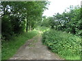
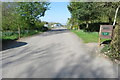
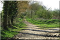
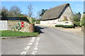
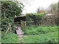
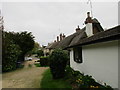
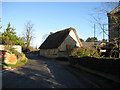
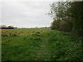
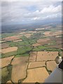
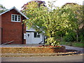
13 photos from this area
Area Information
Key information about the NN12 8PN including its size, population, and administrative classification.
- Area Type
- Postcode
- Area Size
- 4.6 hectares
- Population
- 1784
- Population Density
- 37 people/km²
House Prices in NN12 8PN
11
Properties
£397,857
Average Sold Price
£95,000
Lowest Price
£820,000
Highest Price
Showing 11 properties
| Address | Type | Beds | Baths | Last Sale Price | Last Sale Date | |
|---|---|---|---|---|---|---|
| Laundry Cottage, 1 The Green, Weedon Lois, NN12 8PN | Terraced | 2 | 1 | £525,000 | Aug 2025 | |
| Kulara, 2 The Green, Weedon Lois, NN12 8PN | house | 4 | - | £692,500 | Dec 2022 | |
| 4 The Green, Weedon Lois, NN12 8PN | Cottage | 3 | 2 | £415,000 | Aug 2022 | |
| Elizabeth House, The Green, Weedon Lois, NN12 8PN | Semi-detached | - | - | £820,000 | Nov 2015 | |
| Easter Cottage, 5 The Green, Weedon Lois, NN12 8PN | Semi-detached | - | - | £137,500 | Mar 2002 | |
| 3 The Green, Weedon Lois, NN12 8PN | Semi-detached | 3 | - | £100,000 | Jan 2002 | |
| 6 The Green, Weedon Lois, NN12 8PN | Detached | - | - | £95,000 | Feb 1999 | |
| Elizabeth House Nursery, Elizabeth House, The Green, Weedon Lois, NN12 8PN | Farm | - | - | - | - | |
| The Vicarage, 8 The Green, Weedon Lois, NN12 8PN | house | - | - | - | - | |
| Ashmore House, The Green, Weedon Lois, NN12 8PN | Semi-detached | - | - | - | - |
Page 1 of 2
Energy Efficiency in NN12 8PN
Amenities
Schools
| Rank | School | Type | Entry gender | Ages |
|---|
Explore more schools in this area
Go to Schools tabDemographics
Household Size
Two person
most common
Accommodation Type
Houses
most common
Tenure
80
majority
Ethnic Group
White
most common
Religion
N/A
most common
Household Composition
N/A
most common
Age
47
median
Adults (30-64 years)
most common
Household Deprivation
N/A
with no deprivation
NS-SEC
46
in Lower managerial occupations
Explore more demographic insights in this area
Go to Demographics tabPlanning
Planning Constraints
- Flood RiskPremium
- Ramsar Wetland SitesPremium
- Area of Outstanding Natural BeautyPremium
- Protected Nature ReservePremium
- Protected WoodlandPremium