Area Overview for NN12 8PP
Photos of NN12 8PP
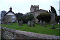
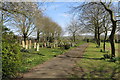
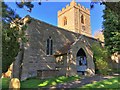
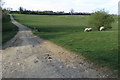
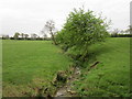
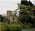
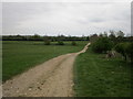
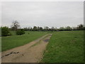
13 photos from this area
Area Information
Key information about the NN12 8PP including its size, population, and administrative classification.
- Area Type
- Postcode
- Area Size
- 83.5 hectares
- Population
- 1784
- Population Density
- 37 people/km²
House Prices in NN12 8PP
15
Properties
£345,700
Average Sold Price
£187,500
Lowest Price
£750,000
Highest Price
Showing 15 properties
| Address | Type | Beds | Baths | Last Sale Price | Last Sale Date | |
|---|---|---|---|---|---|---|
| William Blake House, 8 Milthorpe, Weedon Lois, NN12 8PP | hospital_care_home | - | - | £750,000 | Feb 2016 | |
| Stone Cottage, Milthorpe, Weedon Lois, NN12 8PP | hospital_care_home | - | - | £310,000 | Oct 2005 | |
| Bower House, Milthorpe, Weedon Lois, NN12 8PP | Detached | 4 | 2 | £274,000 | Oct 2003 | |
| 1 Milthorpe, Weedon Lois, NN12 8PP | Detached | 3 | - | £207,000 | Dec 2002 | |
| 2 Milthorpe, Weedon Lois, NN12 8PP | Bungalow | 2 | - | £187,500 | Jun 2001 | |
| 14 Milthorpe, Weedon Lois, NN12 8PP | Land | - | - | - | - | |
| 6 Milthorpe, Weedon Lois, NN12 8PP | Detached | - | - | - | - | |
| Milthorpe House, 10 Milthorpe, Weedon Lois, NN12 8PP | Equestrian | - | - | - | - | |
| 4 Milthorpe, Weedon Lois, NN12 8PP | Semi-detached | - | - | - | - | |
| 12 Milthorpe, Weedon Lois, NN12 8PP | Detached | - | - | - | - |
Page 1 of 2
Energy Efficiency in NN12 8PP
Amenities
Schools
| Rank | School | Type | Entry gender | Ages |
|---|
Explore more schools in this area
Go to Schools tabDemographics
Household Size
Two person
most common
Accommodation Type
Houses
most common
Tenure
80
majority
Ethnic Group
White
most common
Religion
N/A
most common
Household Composition
N/A
most common
Age
47
median
Adults (30-64 years)
most common
Household Deprivation
N/A
with no deprivation
NS-SEC
46
in Lower managerial occupations
Explore more demographic insights in this area
Go to Demographics tabPlanning
Planning Constraints
- Flood RiskPremium
- Ramsar Wetland SitesPremium
- Area of Outstanding Natural BeautyPremium
- Protected Nature ReservePremium
- Protected WoodlandPremium