Area Overview for NG9 4DA
Photos of NG9 4DA
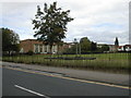
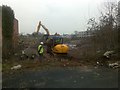
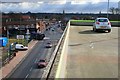
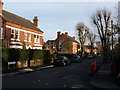
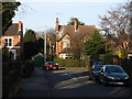
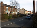
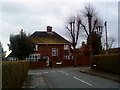
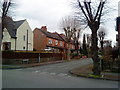
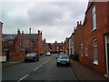
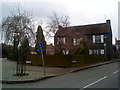
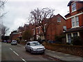
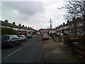
100 photos from this area
Area Information
Key information about the NG9 4DA including its size, population, and administrative classification.
- Area Type
- Postcode
- Area Size
- 1.5 hectares
- Population
- 1552
- Population Density
- 4954 people/km²
House Prices in NG9 4DA
37
Properties
£316,860
Average Sold Price
£80,000
Lowest Price
£805,000
Highest Price
Showing 37 properties
| Address | Type | Beds | Baths | Last Sale Price | Last Sale Date | |
|---|---|---|---|---|---|---|
| 2 Park Road, Chilwell, NG9 4DA | Semi-detached | 3 | 1 | £298,000 | Oct 2025 | |
| 11 Park Road, Chilwell, NG9 4DA | Semi-detached | 3 | 1 | £445,000 | Aug 2024 | |
| 22 Park Road, Chilwell, NG9 4DA | Semi-detached | 4 | 1 | £595,000 | May 2024 | |
| 24 Park Road, Chilwell, NG9 4DA | Semi-detached | 3 | 1 | £466,050 | Feb 2024 | |
| 29 Park Road, Chilwell, NG9 4DA | Bungalow | - | - | £600,000 | Apr 2023 | |
| 34 Park Road, Chilwell, NG9 4DA | house | 3 | 2 | £805,000 | Aug 2022 | |
| 42 Park Road, Chilwell, NG9 4DA | Semi-detached | 4 | - | £457,000 | Nov 2021 | |
| 37 Park Road, Chilwell, NG9 4DA | Detached | 3 | 1 | £465,500 | May 2019 | |
| 8 Park Road, Chilwell, NG9 4DA | Retail | - | - | £205,000 | Feb 2018 | |
| 14 Park Road, Chilwell, NG9 4DA | Semi-detached | 3 | - | £250,000 | Jul 2013 |
Page 1 of 4
Energy Efficiency in NG9 4DA
Amenities
Schools
| Rank | School | Type | Entry gender | Ages |
|---|
Explore more schools in this area
Go to Schools tabDemographics
Household Size
Two person
most common
Accommodation Type
Houses
most common
Tenure
64
majority
Ethnic Group
White
most common
Religion
N/A
most common
Household Composition
N/A
most common
Age
47
median
Adults (30-64 years)
most common
Household Deprivation
N/A
with no deprivation
NS-SEC
47
in Lower managerial occupations
Explore more demographic insights in this area
Go to Demographics tabPlanning
Planning Constraints
- Flood RiskPremium
- Ramsar Wetland SitesPremium
- Area of Outstanding Natural BeautyPremium
- Protected Nature ReservePremium
- Protected WoodlandPremium