Area Overview for NG5 4HD
Photos of NG5 4HD
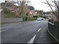
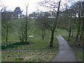
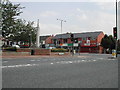
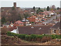
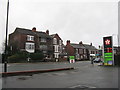
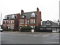
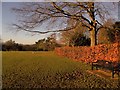
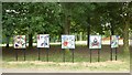
64 photos from this area
Area Information
Key information about the NG5 4HD including its size, population, and administrative classification.
- Area Type
- Postcode
- Area Size
- 1.6 hectares
- Population
- 1464
- Population Density
- 3801 people/km²
House Prices in NG5 4HD
41
Properties
£196,962
Average Sold Price
£79,000
Lowest Price
£308,200
Highest Price
Showing 41 properties
| Address | Type | Beds | Baths | Last Sale Price | Last Sale Date | |
|---|---|---|---|---|---|---|
| 121 Springwood Gardens, Nottingham, NG5 4HD | Bungalow | 3 | 1 | £281,500 | Mar 2025 | |
| 109 Springwood Gardens, Nottingham, NG5 4HD | Bungalow | 3 | 1 | £295,000 | Oct 2024 | |
| 119 Springwood Gardens, Nottingham, NG5 4HD | Bungalow | 3 | 1 | £265,000 | Jul 2024 | |
| 83 Springwood Gardens, Nottingham, NG5 4HD | Bungalow | 2 | 1 | £305,000 | Jul 2024 | |
| 79 Springwood Gardens, Nottingham, NG5 4HD | Bungalow | 3 | 1 | £300,079 | Jul 2024 | |
| 55 Springwood Gardens, Nottingham, NG5 4HD | Detached | 3 | 1 | £308,200 | May 2024 | |
| 63 Springwood Gardens, Nottingham, NG5 4HD | Bungalow | 2 | 1 | £240,000 | Feb 2024 | |
| 131 Springwood Gardens, Nottingham, NG5 4HD | Bungalow | 2 | 1 | £280,000 | Dec 2022 | |
| 71 Springwood Gardens, Nottingham, NG5 4HD | Retail | 2 | 1 | £271,000 | May 2022 | |
| 99 Springwood Gardens, Nottingham, NG5 4HD | Bungalow | 2 | 1 | £210,000 | Jan 2021 |
Page 1 of 5
Energy Efficiency in NG5 4HD
Amenities
Schools
| Rank | School | Type | Entry gender | Ages |
|---|
Explore more schools in this area
Go to Schools tabDemographics
Household Size
Two person
most common
Accommodation Type
Houses
most common
Tenure
72
majority
Ethnic Group
White
most common
Religion
N/A
most common
Household Composition
N/A
most common
Age
47
median
Adults (30-64 years)
most common
Household Deprivation
N/A
with no deprivation
NS-SEC
38
in Lower managerial occupations
Explore more demographic insights in this area
Go to Demographics tabPlanning
Planning Constraints
- Flood RiskPremium
- Ramsar Wetland SitesPremium
- Area of Outstanding Natural BeautyPremium
- Protected Nature ReservePremium
- Protected WoodlandPremium