Area Overview for NG5 4EE
Photos of NG5 4EE
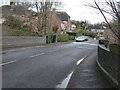
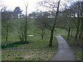
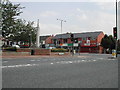
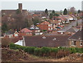
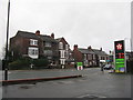
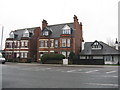
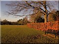
64 photos from this area
Area Information
Key information about the NG5 4EE including its size, population, and administrative classification.
- Area Type
- Postcode
- Area Size
- 2.0 hectares
- Population
- 1464
- Population Density
- 3801 people/km²
House Prices in NG5 4EE
51
Properties
£164,903
Average Sold Price
£56,500
Lowest Price
£335,000
Highest Price
Showing 51 properties
| Address | Type | Beds | Baths | Last Sale Price | Last Sale Date | |
|---|---|---|---|---|---|---|
| 6 Penarth Rise, Nottingham, NG5 4EE | Detached | 3 | 1 | £231,300 | Apr 2025 | |
| 19 Penarth Rise, Nottingham, NG5 4EE | Semi-detached | 3 | 1 | £270,000 | Feb 2025 | |
| 16 Penarth Rise, Nottingham, NG5 4EE | Semi-detached | 3 | 1 | £265,000 | Feb 2025 | |
| 54 Penarth Rise, Nottingham, NG5 4EE | Semi-detached | 3 | 1 | £325,000 | Jan 2025 | |
| 30 Penarth Rise, Nottingham, NG5 4EE | Detached | 4 | 2 | £335,000 | Aug 2023 | |
| 40 Penarth Rise, Nottingham, NG5 4EE | Retail | 3 | 1 | £335,000 | Sep 2022 | |
| 10 Penarth Rise, Nottingham, NG5 4EE | Semi-detached | 3 | 1 | £170,000 | Oct 2021 | |
| 29 Penarth Rise, Nottingham, NG5 4EE | Semi-detached | 3 | - | £222,000 | Nov 2019 | |
| 28 Penarth Rise, Nottingham, NG5 4EE | Detached | 3 | 1 | £210,000 | Nov 2019 | |
| 31 Penarth Rise, Nottingham, NG5 4EE | Semi-detached | 3 | - | £207,000 | Aug 2019 |
Page 1 of 6
Energy Efficiency in NG5 4EE
Amenities
Schools
| Rank | School | Type | Entry gender | Ages |
|---|
Explore more schools in this area
Go to Schools tabDemographics
Household Size
Two person
most common
Accommodation Type
Houses
most common
Tenure
72
majority
Ethnic Group
White
most common
Religion
N/A
most common
Household Composition
N/A
most common
Age
47
median
Adults (30-64 years)
most common
Household Deprivation
N/A
with no deprivation
NS-SEC
38
in Lower managerial occupations
Explore more demographic insights in this area
Go to Demographics tabPlanning
Planning Constraints
- Flood RiskPremium
- Ramsar Wetland SitesPremium
- Area of Outstanding Natural BeautyPremium
- Protected Nature ReservePremium
- Protected WoodlandPremium